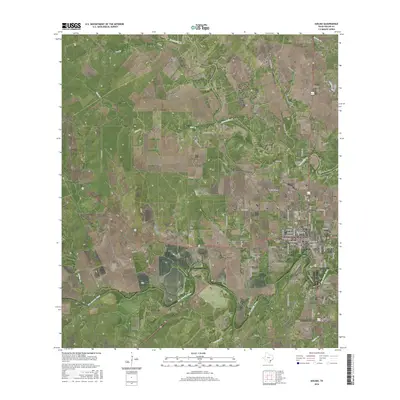
2016 Map of Goliad
USGS Topo · Published 2016About this map
Goliad serves as the focal point of this 2016 survey, situated along the northern bank of the San Antonio River. The town's grid is established by historic thoroughfares such as W Pearl St and W Franklin St, which transition into a network of rural roads extending into the surrounding brush country. To the north and west, the terrain is shaped by several drainages, including Manahuilla Cr, Mud Cr, and the seasonal channels of Whaley Hollow and Post Oak Hollow.
Find a feature on this map
74 named features on this map. Tap any name to fly to it.
Don’t see what you’re looking for? This feature index may not catch every label — zoom into the map to look around manually.
Map Details
Editions of this 2016 Goliad Map
This is the sole edition of this map. No revisions or reprints were ever made.
Other maps of this area

1953 · Beeville
USGS Topo · 1:250,000

1956 · Beeville
USGS Topo · 1:250,000

1960 · Beeville
USGS Topo · 1:250,000
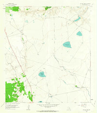
1962 · Live Oak Lake
USGS Topo · 1:24,000
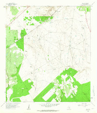
1962 · Melo
USGS Topo · 1:24,000
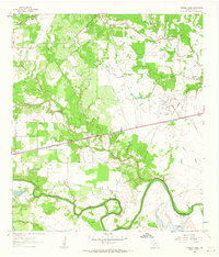
1962 · Hensley Lake
USGS Topo · 1:24,000
1962 · Goliad
USGS Topo · 1:24,000
1963 · Weesatche
USGS Topo · 1:24,000
1963 · Berclair
USGS Topo · 1:24,000
1963 · Runge SE
USGS Topo · 1:24,000