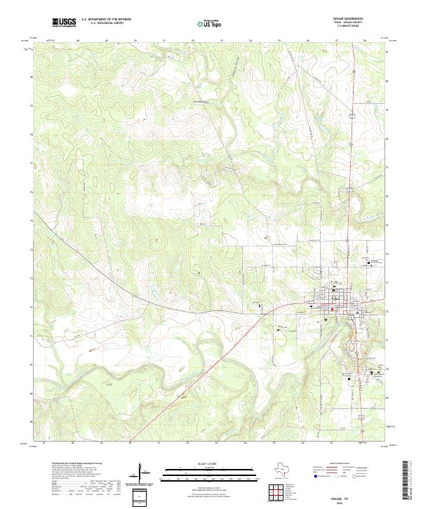
2022 Map of Goliad
USGS Topo · Published 2022About this map
The San Antonio River winds past the town of Goliad, which is centered on the Goliad County Courthouse. This 2022 survey captures a landscape deeply connected to Texas history, marked by a high density of burial grounds and commemorative sites. Near the river's edge, the Fannin Burial Monument and La Bahia Cem stand alongside other significant local sites such as San Fernando De Los Cem and Cristo Rey Cem.
Find a feature on this map
83 named features on this map. Tap any name to fly to it.
Don’t see what you’re looking for? This feature index may not catch every label — zoom into the map to look around manually.
Map Details
Editions of this 2022 Goliad Map
This is the sole edition of this map. No revisions or reprints were ever made.
Other maps of this area

1953 · Beeville
USGS Topo · 1:250,000

1956 · Beeville
USGS Topo · 1:250,000

1960 · Beeville
USGS Topo · 1:250,000

1962 · Live Oak Lake
USGS Topo · 1:24,000

1962 · Melo
USGS Topo · 1:24,000

1962 · Hensley Lake
USGS Topo · 1:24,000

1962 · Goliad
USGS Topo · 1:24,000

1963 · Weesatche
USGS Topo · 1:24,000

1963 · Berclair
USGS Topo · 1:24,000
1963 · Runge SE
USGS Topo · 1:24,000