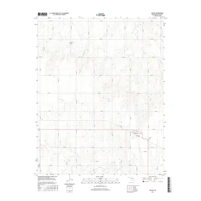
2016 Map of Goltry
USGS Topo · Published 2016About this map
Goltry occupies the southeastern portion of this Alfalfa County landscape, where a dense grid of rural roads connects agricultural homesteads and several community landmarks. The town center is defined by its Post Office and local streets like Newell Ave and 5th St. Local history is anchored by several burial grounds scattered across the township, including Timberlake Cem to the north and Karoma Cem just east of the village. The terrain is shaped by the drainage patterns of Turkey Cr, Wagon Cr, and Alcorn-Spring Cr, which break the otherwise regular section lines of the Oklahoma prairie. The network of section-line roads, such as E0340 Rd and N2700 Rd, illustrates the enduring structure of the region's land division and its rural settlement pattern.
Find a feature on this map
35 named features on this map. Tap any name to fly to it.
Don’t see what you’re looking for? This feature index may not catch every label — zoom into the map to look around manually.
Map Details
Editions of this 2016 Goltry Map
This is the sole edition of this map. No revisions or reprints were ever made.
Other maps of this area
1955 · Woodward
USGS Topo · 1:250,000
1956 · Ringwood
USGS Topo · 1:62,500
1958 · Woodward
USGS Topo · 1:250,000
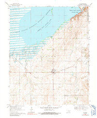
1969 · Jet
USGS Topo · 1:24,000
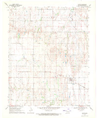
1969 · Goltry
USGS Topo · 1:24,000
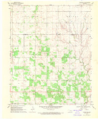
1969 · Fairview NE
USGS Topo · 1:24,000
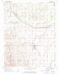
1969 · Nash
USGS Topo · 1:24,000
1969 · Helena
USGS Topo · 1:24,000
1969 · Jet SE
USGS Topo · 1:24,000
1969 · Cherokee South
USGS Topo · 1:24,000