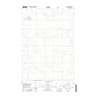
2014 Map of Golva
USGS Topo · Published 2014About this map
Golva sits at the northwestern corner of this landscape, a remote settlement where local life centers around the Po and Saint Marys Cem. The geography is defined by a grid of rural roads and the slow drainage of the High Plains, with Bullion Cr and Bosserman Lake providing vital water sources in an otherwise dry, open country. To the south, the terrain descends toward the Little Missouri National Grassland, where the drainage of Williams Cr cuts through the shortgrass prairie. This map reveals the persistence of rural heritage in Golden Valley County, where isolated landmarks like Burkey Cem and named thoroughfares such as S Farm to Market Rd mark the thin human footprint on this wide-open North Dakota landscape.
Find a feature on this map
22 named features on this map. Tap any name to fly to it.
Don’t see what you’re looking for? This feature index may not catch every label — zoom into the map to look around manually.
Map Details
Editions of this 2014 Golva Map
This is the sole edition of this map. No revisions or reprints were ever made.
Other maps of this area

1953 · Miles City
USGS Topo · 1:250,000

1953 · Dickinson
USGS Topo · 1:250,000

1957 · Dickinson
USGS Topo · 1:250,000

1957 · Miles City
USGS Topo · 1:250,000

1958 · Miles City
USGS Topo · 1:250,000

1979 · Sentinel Butte SE
USGS Topo · 1:24,000

1979 · Three V Crossing
USGS Topo · 1:24,000

1980 · Golva
USGS Topo · 1:24,000

1980 · Thelan
USGS Topo · 1:24,000

1980 · Alpha
USGS Topo · 1:24,000