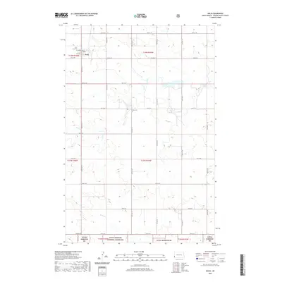
2020 Map of Golva
USGS Topo · Published 2020About this map
Golva sits at the center of this agricultural and prairie landscape in Golden Valley County, just west of the Little Missouri National Grassland. The town's layout is clearly defined by local streets including Cook Ave and Terrell Ave, while the surrounding region is structured by a precise grid of rural roads like 46th St SW and Marmarth Rd. Family and community history is anchored by Saint Marys Cem on the edge of town and the more isolated Burkey Cem to the southeast. The natural drainage of the High Plains is evident through the meandering paths of Bullion Cr and Williams Cr, which cut through the undulating terrain. Significant infrastructure, such as Pipeline Rd, traverses the township lines, indicating the intersection of energy transport with the traditional ranching and farming landscape of western North Dakota.
Find a feature on this map
27 named features on this map. Tap any name to fly to it.
Don’t see what you’re looking for? This feature index may not catch every label — zoom into the map to look around manually.
Map Details
Editions of this 2020 Golva Map
This is the sole edition of this map. No revisions or reprints were ever made.
Other maps of this area

1953 · Miles City
USGS Topo · 1:250,000

1953 · Dickinson
USGS Topo · 1:250,000

1957 · Dickinson
USGS Topo · 1:250,000

1957 · Miles City
USGS Topo · 1:250,000

1958 · Miles City
USGS Topo · 1:250,000

1979 · Sentinel Butte SE
USGS Topo · 1:24,000

1979 · Three V Crossing
USGS Topo · 1:24,000

1980 · Golva
USGS Topo · 1:24,000

1980 · Thelan
USGS Topo · 1:24,000

1980 · Alpha
USGS Topo · 1:24,000