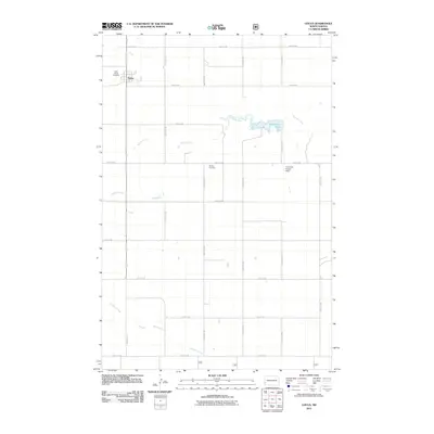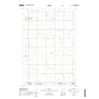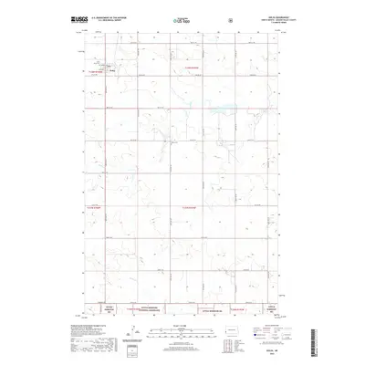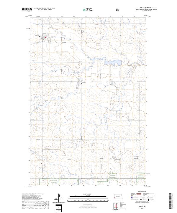
2024 Map of Golva
USGS Topo · Published 2024About this map
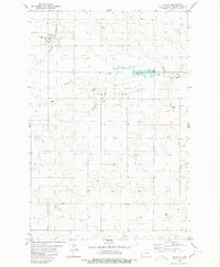
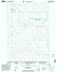
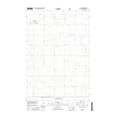
Golva serves as the primary hub of this western North Dakota landscape, situated along the edge of the Little Missouri National Grassland. The settlement's local history is anchored by Saint Marys Cem on the town's northern boundary. The surrounding terrain is defined by the drainage systems of Bullion Creek and Williams Creek, which carve through the prairie towards the grassland to the south. Notable water features include Bosserman Lake, providing a distinct contrast to the sprawling agricultural sections. A rigid grid of rural roads, including Pipeline Rd and the prominent Marmarth Rd, connects isolated homesteads and leads toward Burkey Cem in the central portion of the survey. This 2024 data reflects the modern persistence of these rural communities and the industrial infrastructure supporting the region.
Find a feature on this map
32 named features on this map. Tap any name to fly to it.
Don’t see what you’re looking for? This feature index may not catch every label — zoom into the map to look around manually.
Map Details
Editions of this 2024 Golva Map
This is the sole edition of this map. No revisions or reprints were ever made.
Historical Maps of Golva Through Time
7 maps found