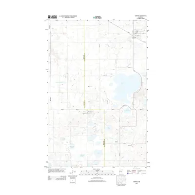
2013 Map of Gonvick
USGS Topo · Published 2013About this map
Gonvick and the settlement of Weme anchor this Clearwater County landscape, which is defined by the winding course of the Lost River and a dense network of glacial lakes. The region's Lutheran heritage is prominent through sites like the Samhold Lutheran Church and the Bethlehem Lutheran Church Cem. For those tracking family history, the map provides exact locations for several local burial grounds, including Queen Township Cem and Oak Park Cem.
Find a feature on this map
42 named features on this map. Tap any name to fly to it.
Don’t see what you’re looking for? This feature index may not catch every label — zoom into the map to look around manually.
Map Details
Editions of this 2013 Gonvick Map
This is the sole edition of this map. No revisions or reprints were ever made.
Other maps of this area
1919 · Fosston
USGS Topo · 1:62,500
1919 · Churnes
USGS Topo · 1:62,500
1919 · Winsor
USGS Topo · 1:62,500
1943 · Bagley
USGS Topo · 1:62,500

1954 · Bemidji
USGS Topo · 1:250,000

1957 · Bemidji
USGS Topo · 1:250,000

1958 · Bemidji
USGS Topo · 1:250,000
1969 · Olga
USGS Topo · 1:24,000
1969 · Clearbrook
USGS Topo · 1:24,000
1969 · Fosston SE
USGS Topo · 1:24,000