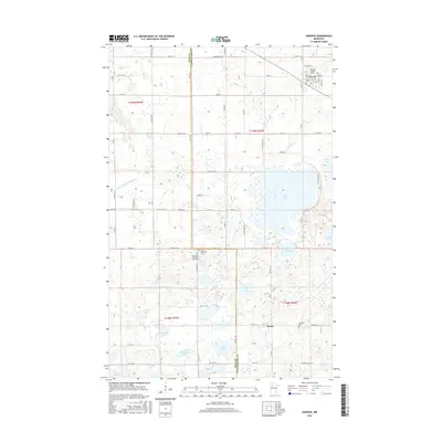
2016 Map of Gonvick
USGS Topo · Published 2016About this map
Gonvick serves as the primary hub in this portion of Clearwater County, where the grid of city streets like Alice St and Maple St meets the rural agricultural expanse. The area's Lutheran heritage is evident through landmarks such as the Samhold Lutheran Church in town and the Bethlehem Lutheran Church Cem located further south. The landscape is defined by its glacial history, featuring a dense concentration of named water bodies including Pine Lake, Pike Lake, and Mule John Lake. The Lost River meanders across the northern half of the sheet, while the southern section transitions toward the small settlement of Weme. This map details the intersection of established township life and the natural wetland environment, providing a clear record of the local road network from Co Hwy 9 to the remote sections of County Ditch Number Eightyone.
Find a feature on this map
69 named features on this map. Tap any name to fly to it.
Don’t see what you’re looking for? This feature index may not catch every label — zoom into the map to look around manually.
Map Details
Editions of this 2016 Gonvick Map
This is the sole edition of this map. No revisions or reprints were ever made.
Other maps of this area
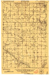
1919 · Fosston
USGS Topo · 1:62,500
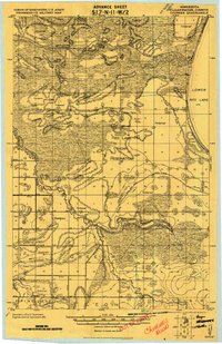
1919 · Churnes
USGS Topo · 1:62,500
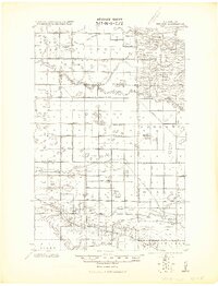
1919 · Winsor
USGS Topo · 1:62,500
1943 · Bagley
USGS Topo · 1:62,500

1954 · Bemidji
USGS Topo · 1:250,000

1957 · Bemidji
USGS Topo · 1:250,000

1958 · Bemidji
USGS Topo · 1:250,000
1969 · Olga
USGS Topo · 1:24,000
1969 · Clearbrook
USGS Topo · 1:24,000
1969 · Fosston SE
USGS Topo · 1:24,000