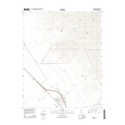
2015 Map of Gonzales
USGS Topo · Published 2015About this map
The Salinas River valley floor meets the rising peaks of the Gabilan Range in this detailed 2015 study of Monterey County. The city of Gonzales serves as the focal point, showing a distinct layout of agricultural and residential streets including Chardonnay Dr and Cabernet Dr, reflecting the region's viticultural identity. Outside the main settlement, the smaller locations of Dean and Penvir sit along the historic corridor of El Camino Real and Old Stage Rd, which run parallel to the modern highway. The eastern half of the map is dominated by a complex network of canyons, most notably Chualar Canyon, Johnson Canyon, and Espinosa Canyon, carved out by seasonal drainages like Chualar Cr and Muddy Cr. This document provides a precise record of land use where intensive valley irrigation ends and the high cattle range begins.
Find a feature on this map
37 named features on this map. Tap any name to fly to it.
Don’t see what you’re looking for? This feature index may not catch every label — zoom into the map to look around manually.
Map Details
Editions of this 2015 Gonzales Map
This is the sole edition of this map. No revisions or reprints were ever made.
Other maps of this area

1910 · Gonzales
USGS Topo · 1:31,680

1910 · Salinas
USGS Topo · 1:31,680

1910 · Soledad
USGS Topo · 1:31,680

1912 · Salinas
USGS Topo · 1:62,500

1915 · Soledad
USGS Topo · 1:62,500

1920 · Jamesburg
USGS Topo · 1:48,000

1921 · Jamesburg
USGS Topo · 1:62,500

1921 · Gonzales
USGS Topo · 1:62,500

1939 · Jamesburg
USGS Topo · 1:62,500

1940 · Salinas
USGS Topo · 1:62,500