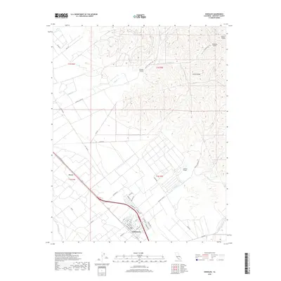
2018 Map of Gonzales
USGS Topo · Published 2018About this map
Gonzales serves as the focal point of this Salinas Valley landscape, where the flat, fertile valley floor meets the rising peaks of the Gabilan Range. The agricultural character of the region is evident in the street names of the town's northern expansion, featuring labels like Zinfandel Dr, Chardonnay, and Burgundy Way. This alignment of modern viticulture interest contrasts with older transportation arteries such as El Camino Real S and Old US Hwy 101, which trace the historic movement of travelers through Monterey County.
Find a feature on this map
50 named features on this map. Tap any name to fly to it.
Don’t see what you’re looking for? This feature index may not catch every label — zoom into the map to look around manually.
Map Details
Editions of this 2018 Gonzales Map
This is the sole edition of this map. No revisions or reprints were ever made.
Other maps of this area

1910 · Gonzales
USGS Topo · 1:31,680

1910 · Salinas
USGS Topo · 1:31,680

1910 · Soledad
USGS Topo · 1:31,680

1912 · Salinas
USGS Topo · 1:62,500

1915 · Soledad
USGS Topo · 1:62,500

1920 · Jamesburg
USGS Topo · 1:48,000

1921 · Jamesburg
USGS Topo · 1:62,500

1921 · Gonzales
USGS Topo · 1:62,500

1939 · Jamesburg
USGS Topo · 1:62,500

1940 · Salinas
USGS Topo · 1:62,500