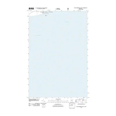
2011 Map of Good Harbor Bay OE E
USGS Topo · Published 2011About this map
Grand Marais occupies the northern edge of this maritime-focused survey, where the town's harbor infrastructure meets the expanse of Lake Superior. The map details the specific coastal layout of the North Shore at this time, highlighting the Grand Marais Marina and the safety beacon at West Breakwater Light. This harbor serves as a primary access point for the region's lake-based economy and recreation, with Wisconsin St providing the main arterial connection through the settlement. Along the shoreline, the Grand Marais Campground offers a glimpse into the seasonal tourism and community use of the lakefront. Because the majority of this quadrangle covers open water, the concentration of labels in the upper-left corner emphasizes the importance of this specific harbor as a critical refuge and transit point on the vast Great Lakes navigation route.
Find a feature on this map
6 named features on this map. Tap any name to fly to it.
Don’t see what you’re looking for? This feature index may not catch every label — zoom into the map to look around manually.
Map Details
Editions of this 2011 Good Harbor Bay OE E Map
This is the sole edition of this map. No revisions or reprints were ever made.
Other maps of this area

1919 · Grand Marais
USGS Topo · 1:62,500

1954 · Two Harbors
USGS Topo · 1:250,000

1957 · Two Harbors
USGS Topo · 1:250,000

1958 · Two Harbors
USGS Topo · 1:250,000

1958 · Good Harbor Bay
USGS Topo · 1:24,000

1960 · Grand Marais
USGS Topo · 1:24,000
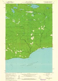
1960 · Kadunce Creek
USGS Topo · 1:24,000
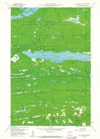
1960 · Devil Track Lake
USGS Topo · 1:24,000

1964 · Two Harbors
USGS Topo · 1:250,000
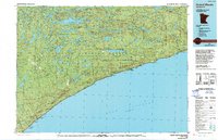
1977 · Grand Marais
USGS Topo · 1:100,000