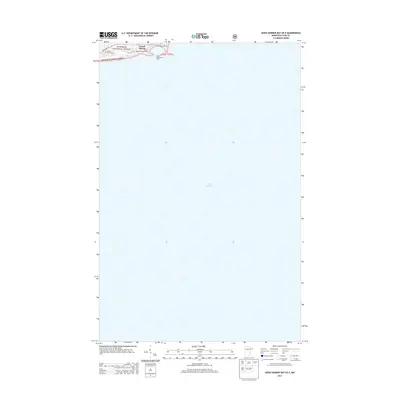
2013 Map of Good Harbor Bay OE E
USGS Topo · Published 2013About this map
Grand Marais and its protected harbor anchor this coastal survey, where the North Shore of Lake Superior meets the edge of the Superior National Forest. The map focuses primarily on the open water of the lake, yet it captures the critical transition from the maritime infrastructure of the Grand Marais Marina and West Breakwater Light to the forested inland terrain. Local landmarks such as the Grand Marais Campground and Poplar Grove Cem reflect the area's dual character as both a community hub and a destination for travelers along State Hwy 61. This 2013 edition illustrates the modern layout of this Cook County settlement, showing how the township sits perched against the vast expanse of the largest of the Great Lakes.
Find a feature on this map
8 named features on this map. Tap any name to fly to it.
Don’t see what you’re looking for? This feature index may not catch every label — zoom into the map to look around manually.
Map Details
Editions of this 2013 Good Harbor Bay OE E Map
This is the sole edition of this map. No revisions or reprints were ever made.
Other maps of this area
1919 · Grand Marais
USGS Topo · 1:62,500
1954 · Two Harbors
USGS Topo · 1:250,000
1957 · Two Harbors
USGS Topo · 1:250,000
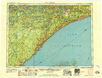
1958 · Two Harbors
USGS Topo · 1:250,000
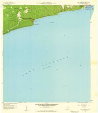
1958 · Good Harbor Bay
USGS Topo · 1:24,000
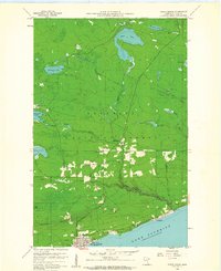
1960 · Grand Marais
USGS Topo · 1:24,000
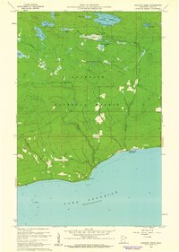
1960 · Kadunce Creek
USGS Topo · 1:24,000
1960 · Devil Track Lake
USGS Topo · 1:24,000
1964 · Two Harbors
USGS Topo · 1:250,000
1977 · Grand Marais
USGS Topo · 1:100,000