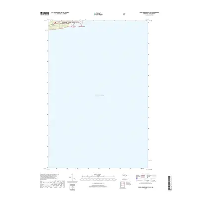
2019 Map of Good Harbor Bay OE E
USGS Topo · Published 2019This historical map portrays the area of Good Harbor Bay OE E in 2019, primarily covering Grand Marais as well as portions of West Cook. Featuring a scale of 1:24,000, this map provides a highly detailed snapshot of the terrain, roads, buildings, counties, and historical landmarks in the Good Harbor Bay OE E region at the time. Published in 2019, it is the sole known edition of this map.
Find a feature on this map
6 named features on this map. Tap any name to fly to it.
Don’t see what you’re looking for? This feature index may not catch every label — zoom into the map to look around manually.
Map Details
Editions of this 2019 Good Harbor Bay OE E Map
This is the sole edition of this map. No revisions or reprints were ever made.
Other maps of this area

1919 · Grand Marais
USGS Topo · 1:62,500

1954 · Two Harbors
USGS Topo · 1:250,000

1957 · Two Harbors
USGS Topo · 1:250,000

1958 · Two Harbors
USGS Topo · 1:250,000

1958 · Good Harbor Bay
USGS Topo · 1:24,000

1960 · Grand Marais
USGS Topo · 1:24,000
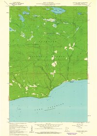
1960 · Kadunce Creek
USGS Topo · 1:24,000
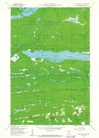
1960 · Devil Track Lake
USGS Topo · 1:24,000

1964 · Two Harbors
USGS Topo · 1:250,000
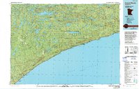
1977 · Grand Marais
USGS Topo · 1:100,000