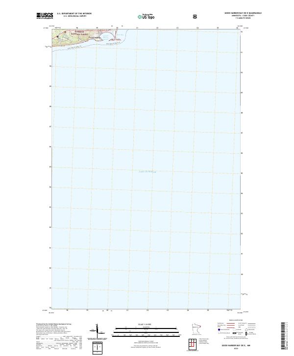
2022 Map of Good Harbor Bay OE E
USGS Topo · Published 2022About this map
Grand Marais and the surrounding coastline of Lake Superior dominate this survey, which captures the immediate vicinity of the harbor and the edge of the Superior National Forest. The landscape is defined by the transition from the protected waters of Grand Marais Harbor and East Bay to the rising terrain of the North Shore. Local infrastructure is concentrated in the small settlement area of Poplar Grove, where Poplar Grove Cem serves as a significant genealogical landmark. Residential and recreational access is traced through small roads and paths like Bethany Dr, Elysian Trl, and Harborview Trl. The inclusion of the Lake Superior Water Trl along the shoreline emphasizes the modern recreational importance of this maritime corridor near the Canadian border.
Find a feature on this map
13 named features on this map. Tap any name to fly to it.
Don’t see what you’re looking for? This feature index may not catch every label — zoom into the map to look around manually.
Map Details
Editions of this 2022 Good Harbor Bay OE E Map
This is the sole edition of this map. No revisions or reprints were ever made.
Other maps of this area

1919 · Grand Marais
USGS Topo · 1:62,500

1954 · Two Harbors
USGS Topo · 1:250,000

1957 · Two Harbors
USGS Topo · 1:250,000

1958 · Two Harbors
USGS Topo · 1:250,000

1958 · Good Harbor Bay
USGS Topo · 1:24,000

1960 · Grand Marais
USGS Topo · 1:24,000
1960 · Kadunce Creek
USGS Topo · 1:24,000
1960 · Devil Track Lake
USGS Topo · 1:24,000

1964 · Two Harbors
USGS Topo · 1:250,000
1977 · Grand Marais
USGS Topo · 1:100,000