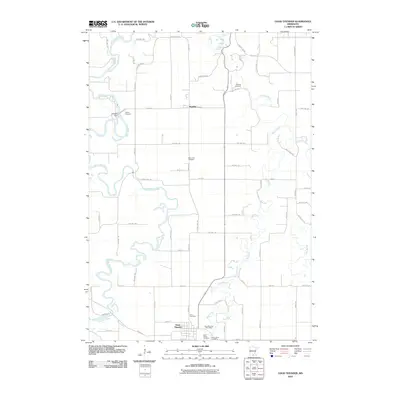
2010 Map of Good Thunder
USGS Topo · Published 2010About this map
The Blue Earth River, Le Sueur River, and Maple River converge in a complex hydrological network south of Mankato, defining the rural character of this Blue Earth County landscape. The settlement of Good Thunder serves as a primary hub in the south, containing the Good Thunder Post Office and nearby Saint Johns Cemetery. To the north, the smaller village of Rapidan is situated near the Rapidan Dam along the banks of the Blue Earth. This 2010 survey illustrates a region where local genealogy is deeply tied to the land, evidenced by numerous burial grounds like Lyra Cemetery, Saint John Cemetery, Calvary Cemetery, and Holberg Cemetery. The infrastructure is characterized by a grid of township roads such as County Hwy-34 and 552nd Ave that navigate around the winding river valleys.
Find a feature on this map
68 named features on this map. Tap any name to fly to it.
Don’t see what you’re looking for? This feature index may not catch every label — zoom into the map to look around manually.
Map Details
Editions of this 2010 Good Thunder Map
This is the sole edition of this map. No revisions or reprints were ever made.
Other maps of this area

1950 · Mankato East
USGS Topo · 1:62,500

1951 · Mankato East
USGS Topo · 1:62,500

1951 · Mankato West
USGS Topo · 1:62,500

1953 · Saint Paul
USGS Topo · 1:250,000

1953 · New Ulm
USGS Topo · 1:250,000

1954 · Fairmont
USGS Topo · 1:250,000

1954 · Mason City
USGS Topo · 1:250,000

1957 · New Ulm
USGS Topo · 1:250,000

1957 · Mason City
USGS Topo · 1:250,000

1958 · New Ulm
USGS Topo · 1:250,000