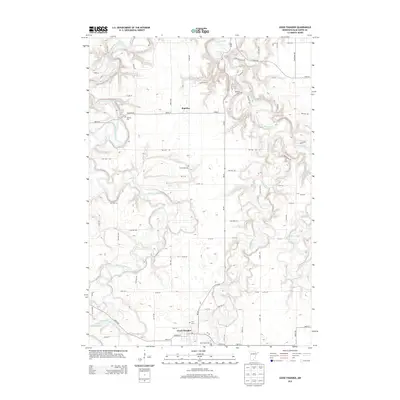
2013 Map of Good Thunder
USGS Topo · Published 2013About this map
Good Thunder and Rapidan anchor this 2013 survey of southern Blue Earth County, where a complex network of waterways converges. The Blue Earth River meanders across the western landscape, while the Maple River, Cobb River, and Le Sueur River carve deep, winding valleys through the eastern half of the sheet. This drainage pattern dictates the local road network, with routes like Glacier Rd and Goose Rd navigating the high ground between the river bluffs.
Find a feature on this map
72 named features on this map. Tap any name to fly to it.
Don’t see what you’re looking for? This feature index may not catch every label — zoom into the map to look around manually.
Map Details
Editions of this 2013 Good Thunder Map
This is the sole edition of this map. No revisions or reprints were ever made.
Other maps of this area

1950 · Mankato East
USGS Topo · 1:62,500

1951 · Mankato East
USGS Topo · 1:62,500

1951 · Mankato West
USGS Topo · 1:62,500

1953 · Saint Paul
USGS Topo · 1:250,000

1953 · New Ulm
USGS Topo · 1:250,000

1954 · Fairmont
USGS Topo · 1:250,000

1954 · Mason City
USGS Topo · 1:250,000

1957 · New Ulm
USGS Topo · 1:250,000

1957 · Mason City
USGS Topo · 1:250,000

1958 · New Ulm
USGS Topo · 1:250,000