
1973 Map of Goodale Coulee
USGS Topo · Published 1976About this map
The international boundary between Canada and the United States defines the northern edge of this prairie landscape, where the high plains of Northeast Montana meet Saskatchewan. This 1970s-era survey captures a rural environment focused on agriculture and transportation, notably the Soo Line railroad tracking along the southern portion of the quadrangle. The land is drained by a network of seasonal watercourses, including Whitetail Creek and its southern and northern forks, as well as the namesake Goodale Coulee. Scattered clusters of Storage Bins across the terrain reflect the region's grain-production heritage. Along the eastern edge, the county line between Daniels and Sheridan counties intersects the winding path of Beaver Creek, providing a detailed look at the local geography before many small-scale farm structures and specific rail-side markers were altered by late-century changes.
Find a feature on this map
12 named features on this map. Tap any name to fly to it.
Don’t see what you’re looking for? This feature index may not catch every label — zoom into the map to look around manually.
Map Details
Editions of this 1973 Goodale Coulee Map
This is the sole edition of this map. No revisions or reprints were ever made.
Other maps of this area

1954 · Wolf Point
USGS Topo · 1:250,000

1958 · Wolf Point
USGS Topo · 1:250,000

1973 · Flaxville
USGS Topo · 1:24,000

1973 · Whitetail
USGS Topo · 1:24,000

1973 · Navajo
USGS Topo · 1:24,000
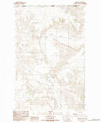
1983 · Daleview
USGS Topo · 1:24,000

1983 · Redstone
USGS Topo · 1:24,000

1983 · Scobey
USGS Topo · 1:100,000
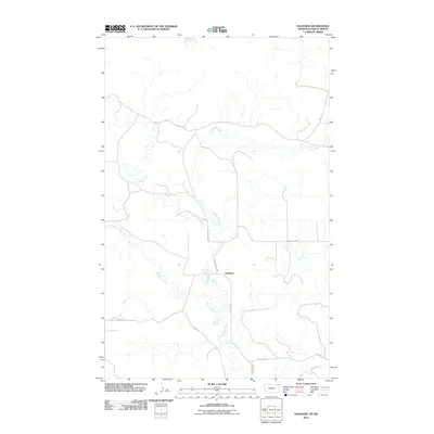
2011 · Daleview
USGS Topo · 1:24,000
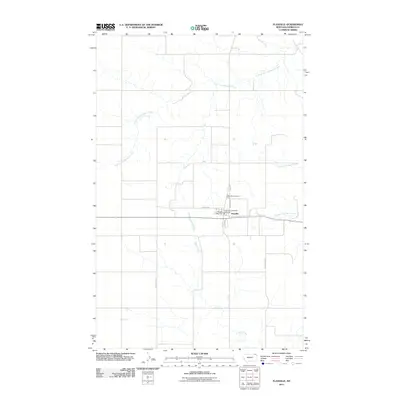
2011 · Flaxville
USGS Topo · 1:24,000