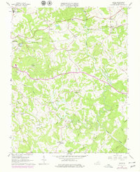
1965 Map of Goode
USGS Topo · Published 1978About this map
Goode and Lowry are established communities along the northern corridor of this Bedford County landscape, where the Norfolk and Western Railroad Grade cuts across the terrain. The area is defined by a dense network of watercourses, most notably the Big Otter River and Little Otter River, which wind through hilly topography. A strong sense of local community is evident in the numerous country churches scattered throughout the countryside, such as Western Light Ch, Timber Ridge Ch, and Nicopolis Ch.
Find a feature on this map
38 named features on this map. Tap any name to fly to it.
Don’t see what you’re looking for? This feature index may not catch every label — zoom into the map to look around manually.
Map Details
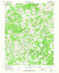
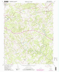
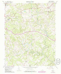
Editions of this 1965 Goode Map
4 editions found
Other maps of this area

1890 · Roanoke
USGS Topo · 1:125,000

1891 · Roanoke
USGS Topo · 1:125,000

1892 · Lynchburg
USGS Topo · 1:125,000

1947 · Roanoke
USGS Topo · 1:250,000

1950 · Goode
USGS Topo · 1:62,500

1950 · Peaks of Otter
USGS Topo · 1:62,500

1951 · Moneta
USGS Topo · 1:62,500

1951 · Altavista
USGS Topo · 1:62,500

1959 · Roanoke
USGS Topo · 1:250,000

1963 · Roanoke
USGS Topo · 1:250,000