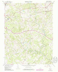
1965 Map of Goode
USGS Topo · Published 1986About this map
The Big Otter River and its many tributaries, including the Little Otter River and Elk Creek, define the rolling landscape of eastern Bedford County during the mid-1960s. This survey documents a rural corridor transitioning with new infrastructure, such as the Sewage Disposal Pond and Trailer Park near Centerville, while maintaining its traditional foundations. The Norfolk and Western railway remains a central artery, passing through the settlements of Lowry and Goode. An intriguing local landmark is the Old Railroad Grade north of Johns Creek, pointing to earlier transport routes that preceded the modern rail alignment.
Find a feature on this map
35 named features on this map. Tap any name to fly to it.
Don’t see what you’re looking for? This feature index may not catch every label — zoom into the map to look around manually.
Map Details
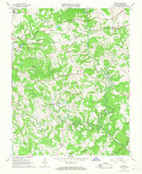
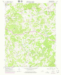
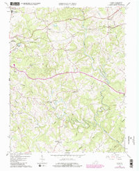
Editions of this 1965 Goode Map
4 editions found
Other maps of this area

1890 · Roanoke
USGS Topo · 1:125,000

1891 · Roanoke
USGS Topo · 1:125,000

1892 · Lynchburg
USGS Topo · 1:125,000

1947 · Roanoke
USGS Topo · 1:250,000

1950 · Goode
USGS Topo · 1:62,500

1950 · Peaks of Otter
USGS Topo · 1:62,500

1951 · Moneta
USGS Topo · 1:62,500

1951 · Altavista
USGS Topo · 1:62,500

1959 · Roanoke
USGS Topo · 1:250,000

1963 · Roanoke
USGS Topo · 1:250,000