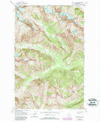
1963 Map of Goode Mtn
USGS Topo · Published 1987About this map
Goode Mtn and the surrounding high-altitude terrain of the northern Cascades dominate this 1963 survey, which was updated with 1984 aerial data to show the changing woodland and glacial margins. This alpine environment is defined by massive ice fields including Boston Glacier, Buckner Glacier, and Goode Glacier, which feed a complex network of drainages. The Stehekin River and Park Creek serve as primary corridors through the steep topography, joined by the Park Creek Trail which provides access over Park Creek Pass. The map highlights remote backcountry locations like Cottonwood Camp and the isolated waters of Trapper Lake 4165 and Glory Lake. Spanning the boundary of Skagit and Chelan Counties, the sheet documents the interface of the North Cascades National Park and the Wenatchee National Forest, capturing a high-country wilderness before contemporary shifts in glacial extent.
Find a feature on this map
36 named features on this map. Tap any name to fly to it.
Don’t see what you’re looking for? This feature index may not catch every label — zoom into the map to look around manually.
Map Details
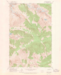
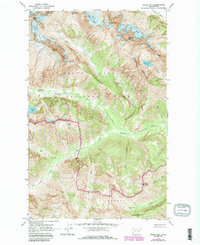
Editions of this 1963 Goode Mtn Map
Other maps of this area

1899 · Glacier Peak
USGS Topo · 1:125,000

1901 · Glacier Peak
USGS Topo · 1:125,000

1902 · Stehekin
USGS Topo · 1:125,000

1904 · Stehekin
USGS Topo · 1:125,000

1920 · Slate Pass
USGS Topo · 1:125,000

1955 · Concrete
USGS Topo · 1:250,000

1958 · Concrete
USGS Topo · 1:250,000

1962 · Concrete
USGS Topo · 1:250,000

1963 · Mc Gregor Mtn
USGS Topo · 1:24,000
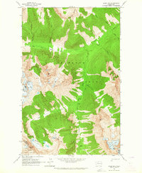
1963 · Agnes Mtn
USGS Topo · 1:24,000