2022 Map of Goodell
USGS Topo · Published 2022About this map
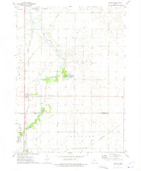
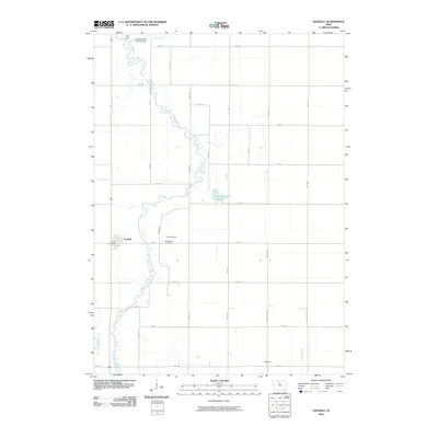
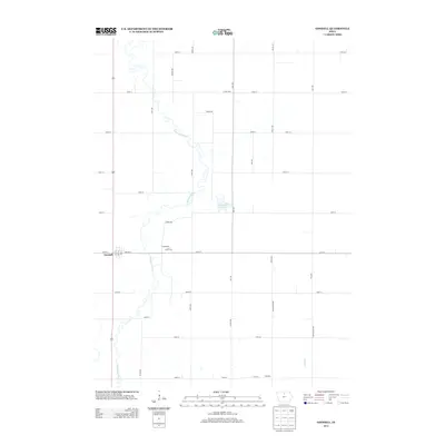
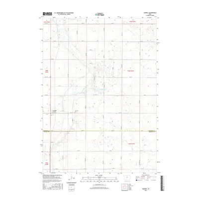
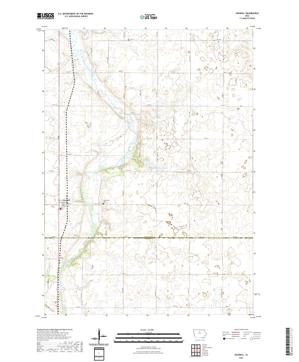
Goodell stands as the primary settlement within this northern Iowa landscape, situated just west of the meandering East Branch Iowa River. The town's grid of streets, including Willow St and 2nd St, transitions quickly into a vast agricultural expanse defined by a rigorous mile-square section line road system. To the east of the river, Eldred Sherwood Park Lake provides a notable hydrographic feature amidst the fields, while the southern reach of the map is drained by Luicks Cr.
Find a feature on this map
37 named features on this map. Tap any name to fly to it.
Don’t see what you’re looking for? This feature index may not catch every label — zoom into the map to look around manually.
Map Details
Editions of this 2022 Goodell Map
This is the sole edition of this map. No revisions or reprints were ever made.
Historical Maps of Goodell Through Time
6 maps found