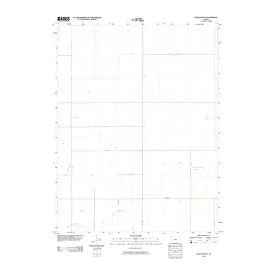
2009 Map of Goodland NE
USGS Topo · Published 2009About this map
Middle Fork Sappa Creek meanders through this section of the High Plains in Sherman County, forming a winding drainage pattern across an otherwise orderly grid of section lines and rural roads. In the early 21st century, this landscape remains defined by its agricultural layout, where the geometric precision of routes like Co RD 74 and Peters Rd is interrupted only by the natural course of the creek and the northwestern reach of Beaver Creek. The map documents a sparsely settled prairie environment where the infrastructure is primarily oriented toward land access and water management. Researchers and genealogists can trace the specific rural road network, including north-south corridors like Co RD 25 and Co RD 30, which provide the backbone for the agricultural parcels and small farmstead clusters dotting this corner of Kansas.
Find a feature on this map
14 named features on this map. Tap any name to fly to it.
Don’t see what you’re looking for? This feature index may not catch every label — zoom into the map to look around manually.
Map Details
Editions of this 2009 Goodland NE Map
This is the sole edition of this map. No revisions or reprints were ever made.
Other maps of this area

1951 · Bird City South
USGS Topo · 1:62,500

1951 · Dewey Ranch
USGS Topo · 1:62,500

1954 · Goodland
USGS Topo · 1:250,000

1956 · Goodland
USGS Topo · 1:250,000

1957 · Goodland
USGS Topo · 1:250,000

1966 · Goodland NW
USGS Topo · 1:24,000

1966 · Goodland
USGS Topo · 1:24,000

1966 · Edson
USGS Topo · 1:24,000

1966 · Goodland NE
USGS Topo · 1:24,000

1966 · Brewster NW
USGS Topo · 1:24,000