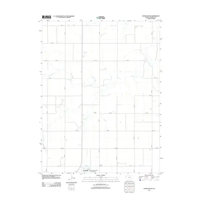
2012 Map of Goodland NW
USGS Topo · Published 2012About this map
Goodland occupies the southern edge of this Sherman County landscape, where the northern residential and industrial margins of the city meet the agricultural plains. Transportation and infrastructure serve as the primary landmarks in this rural corridor, notably at Renner Field (Goodland Municipal Airport). The terrain is defined by the headwaters and seasonal drainages of several High Plains waterways, including Middle Beaver Creek and South Beaver Creek, which carve subtle paths across the section-line road grid. For genealogists and local historians, the presence of Harmony Cemetery and Goodland Cemetery provides specific points of interest for tracing family ties in the region. The map illustrates a modern Kansas landscape where the strict geometry of county roads like Peters Road and Road 21 intersects with the natural meandering of Beaver Creek.
Find a feature on this map
25 named features on this map. Tap any name to fly to it.
Don’t see what you’re looking for? This feature index may not catch every label — zoom into the map to look around manually.
Map Details
Editions of this 2012 Goodland NW Map
This is the sole edition of this map. No revisions or reprints were ever made.
Other maps of this area

1951 · Bird City South
USGS Topo · 1:62,500

1952 · St Francis 3
USGS Topo · 1:62,500

1954 · Goodland
USGS Topo · 1:250,000

1956 · Goodland
USGS Topo · 1:250,000

1957 · Goodland
USGS Topo · 1:250,000

1966 · Goodland NW
USGS Topo · 1:24,000

1966 · Goodland
USGS Topo · 1:24,000

1966 · Edson
USGS Topo · 1:24,000

1966 · Ruleton NE
USGS Topo · 1:24,000

1966 · Goodland NE
USGS Topo · 1:24,000