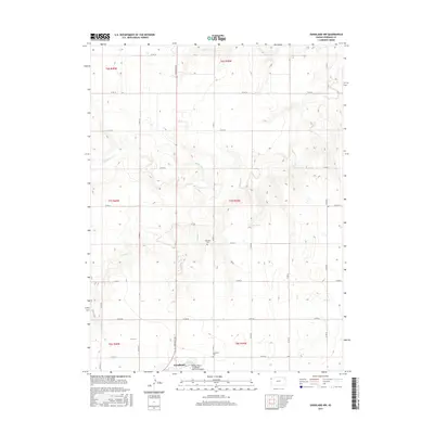
2015 Map of Goodland NW
USGS Topo · Published 2015About this map
Goodland anchors the southern edge of this High Plains landscape, where the town’s northern expansion meets the vast agricultural sections of Sherman County. The area is defined by the headwaters and drainages of the Beaver Creek system, including the meandering paths of Middle Beaver Cr and S Beaver Cr. This 2015 survey illustrates a rural grid of county roads that service isolated farmsteads and historic local landmarks. Genealogists will find the locations of Harmony Cem and Goodland Cem clearly marked among the section lines. Near the city limits, the Renner Field / Goodland Municipal Airport serves as a modern aviation hub, contrasting with the quiet, stream-cut prairies that dominate the northern reaches of the quadrangle.
Find a feature on this map
29 named features on this map. Tap any name to fly to it.
Don’t see what you’re looking for? This feature index may not catch every label — zoom into the map to look around manually.
Map Details
Editions of this 2015 Goodland NW Map
This is the sole edition of this map. No revisions or reprints were ever made.
Other maps of this area

1951 · Bird City South
USGS Topo · 1:62,500

1952 · St Francis 3
USGS Topo · 1:62,500

1954 · Goodland
USGS Topo · 1:250,000

1956 · Goodland
USGS Topo · 1:250,000

1957 · Goodland
USGS Topo · 1:250,000

1966 · Goodland NW
USGS Topo · 1:24,000

1966 · Goodland
USGS Topo · 1:24,000

1966 · Edson
USGS Topo · 1:24,000

1966 · Ruleton NE
USGS Topo · 1:24,000

1966 · Goodland NE
USGS Topo · 1:24,000