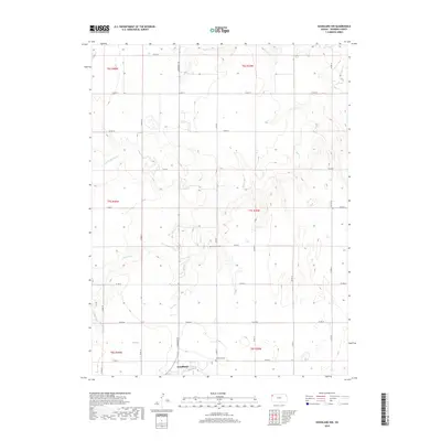
2018 Map of Goodland NW
USGS Topo · Published 2018About this map
Goodland anchors the southern edge of this High Plains landscape, where the town's northern periphery meets a sprawling network of agricultural sections. The terrain is defined by the branching drainage system of the Beaver Creek tributaries, which carve subtle relief into the Sherman County plateau. These seasonal watercourses, including Middle Beaver Cr, S Beaver Cr, and the main stem of Beaver Cr, dictate the placement of local infrastructure and land divisions.
Find a feature on this map
22 named features on this map. Tap any name to fly to it.
Don’t see what you’re looking for? This feature index may not catch every label — zoom into the map to look around manually.
Map Details
Editions of this 2018 Goodland NW Map
This is the sole edition of this map. No revisions or reprints were ever made.
Other maps of this area
1951 · Bird City South
USGS Topo · 1:62,500
1952 · St Francis 3
USGS Topo · 1:62,500

1954 · Goodland
USGS Topo · 1:250,000

1956 · Goodland
USGS Topo · 1:250,000

1957 · Goodland
USGS Topo · 1:250,000
1966 · Goodland NW
USGS Topo · 1:24,000
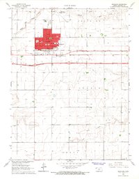
1966 · Goodland
USGS Topo · 1:24,000
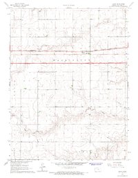
1966 · Edson
USGS Topo · 1:24,000
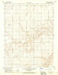
1966 · Ruleton NE
USGS Topo · 1:24,000
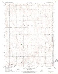
1966 · Goodland NE
USGS Topo · 1:24,000