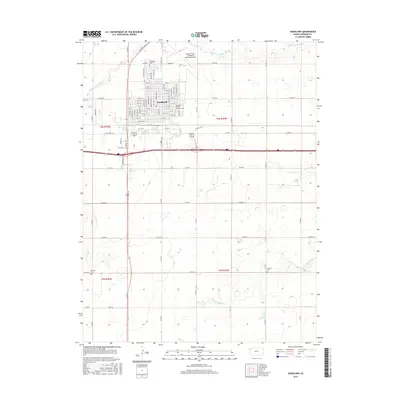
2015 Map of Goodland
USGS Topo · Published 2015About this map
Goodland serves as the primary hub of this High Plains landscape, situated at the crossroads of the interstate and historic routes like Old US Hwy 24. The town is well-established with institutions such as the Northwest Kansas Technical Coll and Renner Field / Goodland Municipal Airport defining its northern and eastern fringes. The surrounding terrain is characterized by a high-altitude agricultural grid, segmented by numerous county roads including Co Rd 66 and Co Rd 60. Waterways like the Middle Fork Sappa Cr and S Fork Sappa Cr carve subtle drainage patterns through the prairie. For those tracing local history, several burial sites are recorded across the quadrangle, including the Goodland Cem north of town and the more isolated Whistler Cem and Frerichs Cem in the outlying sections.
Find a feature on this map
74 named features on this map. Tap any name to fly to it.
Don’t see what you’re looking for? This feature index may not catch every label — zoom into the map to look around manually.
Map Details
Editions of this 2015 Goodland Map
This is the sole edition of this map. No revisions or reprints were ever made.
Other maps of this area

1954 · Goodland
USGS Topo · 1:250,000

1956 · Goodland
USGS Topo · 1:250,000

1957 · Goodland
USGS Topo · 1:250,000
1959 · Harris Draw
USGS Topo · 1:62,500
1959 · Horsethief Draw
USGS Topo · 1:62,500
1966 · Goodland NW
USGS Topo · 1:24,000
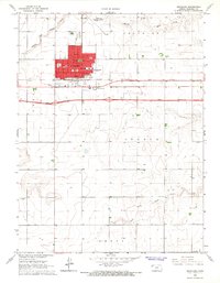
1966 · Goodland
USGS Topo · 1:24,000
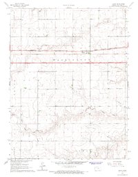
1966 · Edson
USGS Topo · 1:24,000
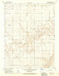
1966 · Ruleton NE
USGS Topo · 1:24,000
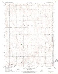
1966 · Goodland NE
USGS Topo · 1:24,000