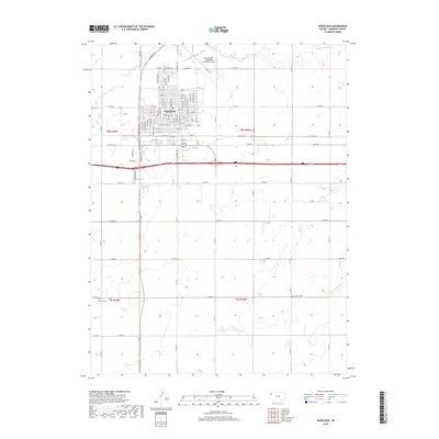
2018 Map of Goodland
USGS Topo · Published 2018About this map
Goodland serves as the focal point of this High Plains landscape, situated at a major intersection of modern interstate and local travel routes. The community's organized grid is documented through dozens of named streets, including the central N Main Ave and N Caldwell Ave. Surrounding the town, the high plains are carved by the drainage systems of the Middle Fork Sappa Cr to the north and the S Fork Sappa Cr to the southeast. For those researching local families, the survey identifies several key burial sites on the periphery of the settlement, including the Goodland Cem near the northern limits, Whistler Cem to the southwest, and Frerichs Cem in the east. The presence of Renner Field / Goodland Municipal Airport highlights the region's importance as an aviation and transit hub for western Kansas.
Find a feature on this map
66 named features on this map. Tap any name to fly to it.
Don’t see what you’re looking for? This feature index may not catch every label — zoom into the map to look around manually.
Map Details
Editions of this 2018 Goodland Map
This is the sole edition of this map. No revisions or reprints were ever made.
Other maps of this area

1954 · Goodland
USGS Topo · 1:250,000

1956 · Goodland
USGS Topo · 1:250,000

1957 · Goodland
USGS Topo · 1:250,000
1959 · Harris Draw
USGS Topo · 1:62,500
1959 · Horsethief Draw
USGS Topo · 1:62,500
1966 · Goodland NW
USGS Topo · 1:24,000
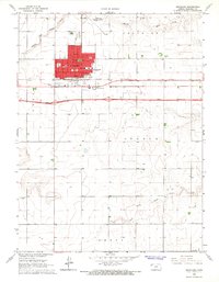
1966 · Goodland
USGS Topo · 1:24,000
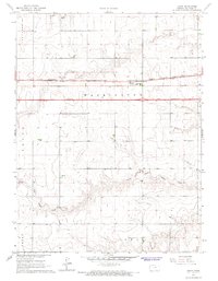
1966 · Edson
USGS Topo · 1:24,000
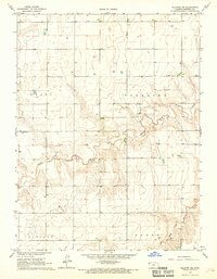
1966 · Ruleton NE
USGS Topo · 1:24,000
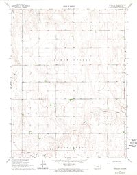
1966 · Goodland NE
USGS Topo · 1:24,000