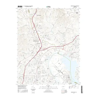
2016 Map of Goodlettsville
USGS Topo · Published 2016About this map
Goodlettsville and Millersville sit at the center of this 2016 survey, where the suburban growth of northern Davidson County meets the rising hills of the Tennessee landscape. The area is defined by its position along the Cumberland River, which winds past Hadley Bend and creates a complex boundary marked by Mansker Island and Hills Island. The geography is shaped by significant watercourses like Mansker Cr and Dry Cr, flowing toward the river through a region increasingly interconnected by interstate routes and historic thoroughfares. Local heritage is preserved in landmarks such as the Old Stone Bridge and a network of family burial grounds including Old Beech Cem and Lutons Cem. Educational institutions like the Nossi Coll of Art and Mid Tennessee Sch of Anesthesia Inc reflect the modern character of the Madison and Edenwold communities as they transition toward the riverfront industrial and recreational zones of Old Hickory.
Find a feature on this map
190 named features on this map. Tap any name to fly to it.
Don’t see what you’re looking for? This feature index may not catch every label — zoom into the map to look around manually.
Map Details
Editions of this 2016 Goodlettsville Map
This is the sole edition of this map. No revisions or reprints were ever made.
Other maps of this area

1903 · Nashville
USGS Topo · 1:125,000

1931 · Ridgetop
USGS Topo · 1:62,500

1932 · Hermitage
USGS Topo · 1:62,500

1932 · Nashville
USGS Topo · 1:62,500

1935 · Ridgetop
USGS Topo · 1:62,500

1942 · Gallatin
USGS Topo · 1:100,000

1942 · Lebanon
USGS Topo · 1:100,000

1952 · Goodlettsville
USGS Topo · 1:24,000

1952 · Hendersonville
USGS Topo · 1:24,000

1952 · Hermitage
USGS Topo · 1:24,000