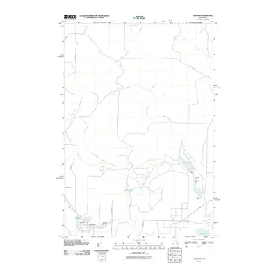
2010 Map of Goodman
USGS Topo · Published 2010About this map
Goodman serves as the primary settlement on this Northwoods Wisconsin landscape, characterized by a complex hydraulic system supporting early local industry. The village is situated adjacent to the Goodman Millpond and Goodman Dam, indicating a history tied to timber or milling operations. The surrounding terrain is defined by a dense network of watercourses, including the North Branch Pike River and its numerous tributaries such as Chemical Creek and Macintire Creek.
Find a feature on this map
40 named features on this map. Tap any name to fly to it.
Don’t see what you’re looking for? This feature index may not catch every label — zoom into the map to look around manually.
Map Details
Editions of this 2010 Goodman Map
This is the sole edition of this map. No revisions or reprints were ever made.
Other maps of this area

1939 · Dunbar
USGS Topo · 1:48,000

1939 · Goodman
USGS Topo · 1:48,000

1939 · Iron Mountain
USGS Topo · 1:48,000

1941 · Florence
USGS Topo · 1:48,000

1941 · Dunbar
USGS Topo · 1:48,000

1941 · Iron Mountain
USGS Topo · 1:48,000

1946 · Goodman
USGS Topo · 1:48,000

1947 · Dunbar
USGS Topo · 1:48,000

1947 · Iron Mountain
USGS Topo · 1:48,000

1954 · Iron Mountain
USGS Topo · 1:250,000