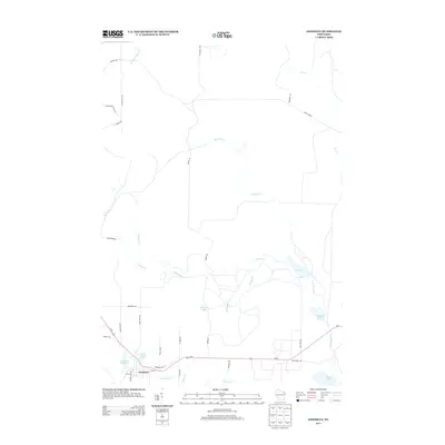
2013 Map of Goodman
USGS Topo · Published 2013About this map
The settlement of Goodman serves as the focal point for this section of Marinette County, positioned along the US-8 corridor. The landscape is defined by its extensive hydrography, including the Goodman Millpond and several significant lakes such as Hobachee Lake, Clark Lake, and Moon Lake. The naming of Chemical Cr and Railroad Pond 37 suggests a legacy of local industry and transport, while the northern reaches of the quadrangle are dominated by the winding paths of Macintire Cr and Lamon Tangue Cr. Residential and service infrastructure is concentrated near the town center, featuring a local Cemetery and a network of roads including Partridge Rd and Clark Lake Rd that connect the isolated water bodies and wetlands of the N Br Pike River watershed.
Find a feature on this map
42 named features on this map. Tap any name to fly to it.
Don’t see what you’re looking for? This feature index may not catch every label — zoom into the map to look around manually.
Map Details
Editions of this 2013 Goodman Map
This is the sole edition of this map. No revisions or reprints were ever made.
Other maps of this area

1939 · Dunbar
USGS Topo · 1:48,000

1939 · Goodman
USGS Topo · 1:48,000

1939 · Iron Mountain
USGS Topo · 1:48,000

1941 · Florence
USGS Topo · 1:48,000

1941 · Dunbar
USGS Topo · 1:48,000

1941 · Iron Mountain
USGS Topo · 1:48,000

1946 · Goodman
USGS Topo · 1:48,000

1947 · Dunbar
USGS Topo · 1:48,000

1947 · Iron Mountain
USGS Topo · 1:48,000

1954 · Iron Mountain
USGS Topo · 1:250,000