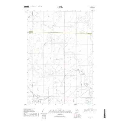
2018 Map of Goodman
USGS Topo · Published 2018About this map
Goodman Millpond sits at the heart of this Northwoods landscape, serving as a focal point for the settlement just south of the Florence and Marinette County line. The area is defined by an intricate network of waterways including Macintire Cr, Lemon Tongue Cr, and the winding Pike River in the southeast. Cultural features such as Glenwood Cem and the residential layout along Maple Ave and Beech Ave provide grounding for family historians.
Find a feature on this map
45 named features on this map. Tap any name to fly to it.
Don’t see what you’re looking for? This feature index may not catch every label — zoom into the map to look around manually.
Map Details
Editions of this 2018 Goodman Map
This is the sole edition of this map. No revisions or reprints were ever made.
Other maps of this area

1939 · Dunbar
USGS Topo · 1:48,000

1939 · Goodman
USGS Topo · 1:48,000

1939 · Iron Mountain
USGS Topo · 1:48,000

1941 · Florence
USGS Topo · 1:48,000

1941 · Dunbar
USGS Topo · 1:48,000

1941 · Iron Mountain
USGS Topo · 1:48,000

1946 · Goodman
USGS Topo · 1:48,000

1947 · Dunbar
USGS Topo · 1:48,000

1947 · Iron Mountain
USGS Topo · 1:48,000

1954 · Iron Mountain
USGS Topo · 1:250,000