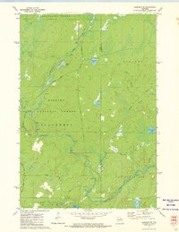
1972 Map of Goodman SW
USGS Topo · Published 1974About this map
The Peshtigo River winds through the dense woodlands of the Nicolet National Forest in this early 1970s survey. This portion of the Northwoods, spanning the border of Forest and Marinette counties, is characterized by its complex network of drainage and isolated water bodies. The terrain features numerous rapids along the main river course, particularly near its junctions with tributaries like Michigan Creek and Armstrong Creek.
Find a feature on this map
27 named features on this map. Tap any name to fly to it.
Don’t see what you’re looking for? This feature index may not catch every label — zoom into the map to look around manually.
Map Details
Editions of this 1972 Goodman SW Map
2 editions found
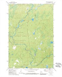
Other maps of this area

1939 · Goodman
USGS Topo · 1:48,000

1939 · Laona
USGS Topo · 1:48,000

1940 · Thunder Mtn.
USGS Topo · 1:48,000

1942 · Wabeno
USGS Topo · 1:48,000

1946 · Laona
USGS Topo · 1:48,000

1946 · Goodman
USGS Topo · 1:48,000

1950 · Wabeno
USGS Topo · 1:48,000

1951 · Wabeno
USGS Topo · 1:48,000

1951 · Thunder Mountain
USGS Topo · 1:48,000

1954 · Iron Mountain
USGS Topo · 1:250,000