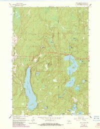
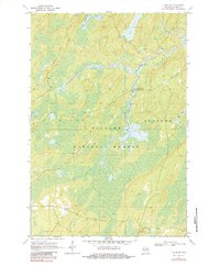
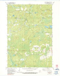
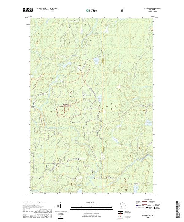
1972 Map of Goodman SW
USGS Topo · Published 1986About this map
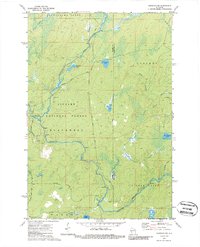
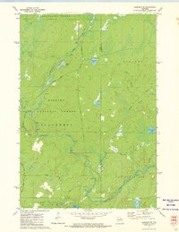
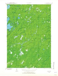
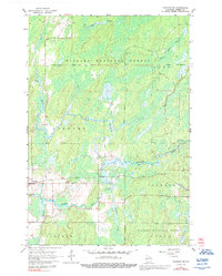
Peshtigo River whitewater and the dense woodlands of the Nicolet National Forest dominate this 1970s topographical record. The landscape is defined by its complex hydrology, where the main river channel is joined by the Rat River and smaller tributaries like Armstrong Creek, characterized by numerous rapids and a significant falls north of Engleking Road. The area across the Forest and Marinette County line shows very little permanent settlement, instead featuring seasonal and recreational sites like the Burnt Bridge Campground and a boat ramp at Camp Six Lake. For the local historian, the map preserves the exact locations of resource extraction and transit, including several Gravel Pits and backwood routes such as Goose Creek Road and Park Road.
Find a feature on this map
30 named features on this map. Tap any name to fly to it.
Don’t see what you’re looking for? This feature index may not catch every label — zoom into the map to look around manually.
Map Details
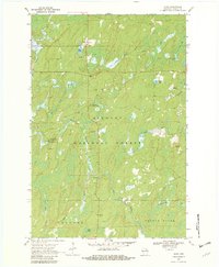
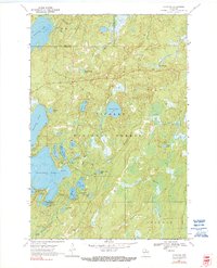
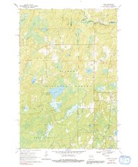
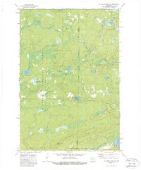
Editions of this 1972 Goodman SW Map
2 editions found
Historical Maps of Wabeno Through Time
30 maps found
1938 Alvin
Forest County, WI

1946 Alvin
Forest County, WI
1965 Crandon NE
Forest County, WI
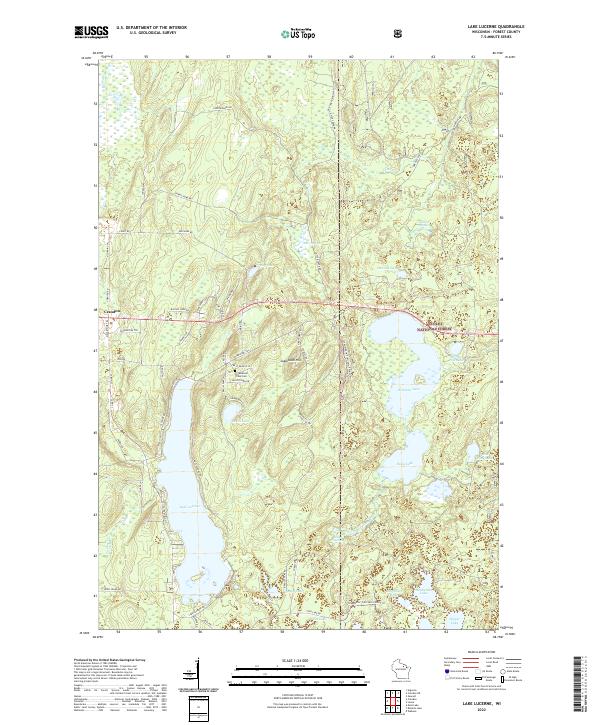
1965 Lake Lucerne
Forest County, WI
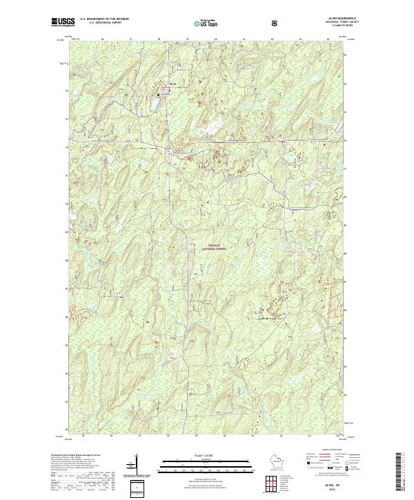
1970 Alvin
Forest County, WI
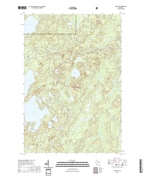
1970 Alvin NW
Forest County, WI
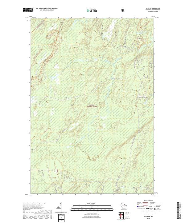
1970 Alvin SE
Forest County, WI
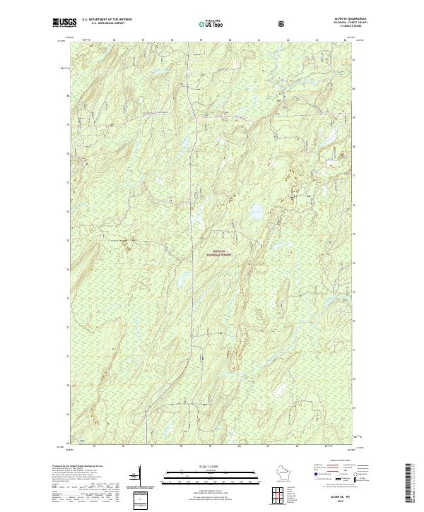
1970 Alvin SW
Forest County, WI
1970 Tipler
Forest County, WI
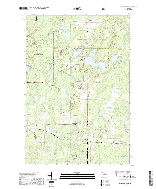
1972 Armstrong Creek
Forest County, WI
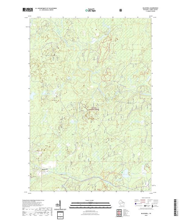
1972 Blackwell
Forest County, WI
1972 Goodman SW
Forest County, WI
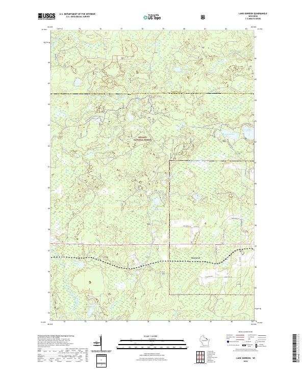
1972 Lake Gordon
Forest County, WI
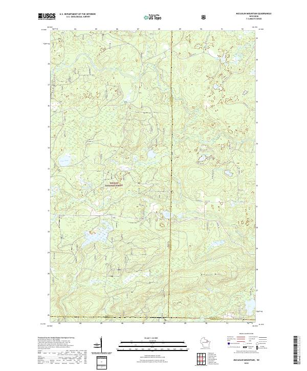
1972 Mc Caslin Mountain
Forest County, WI
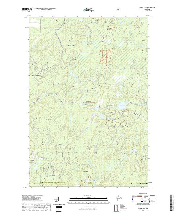
1972 Otter Lake
Forest County, WI
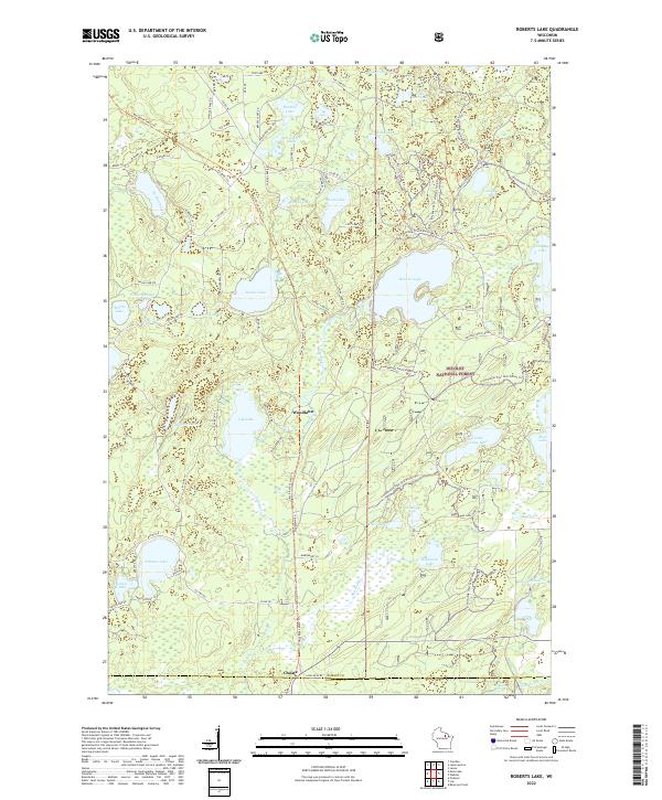
1973 Roberts Lake
Forest County, WI
2022 Alvin
Forest County, WI
2022 Alvin NW
Forest County, WI
2022 Alvin SE
Forest County, WI
2022 Alvin SW
Forest County, WI
2022 Armstrong Creek
Forest County, WI
2022 Blackwell
Forest County, WI
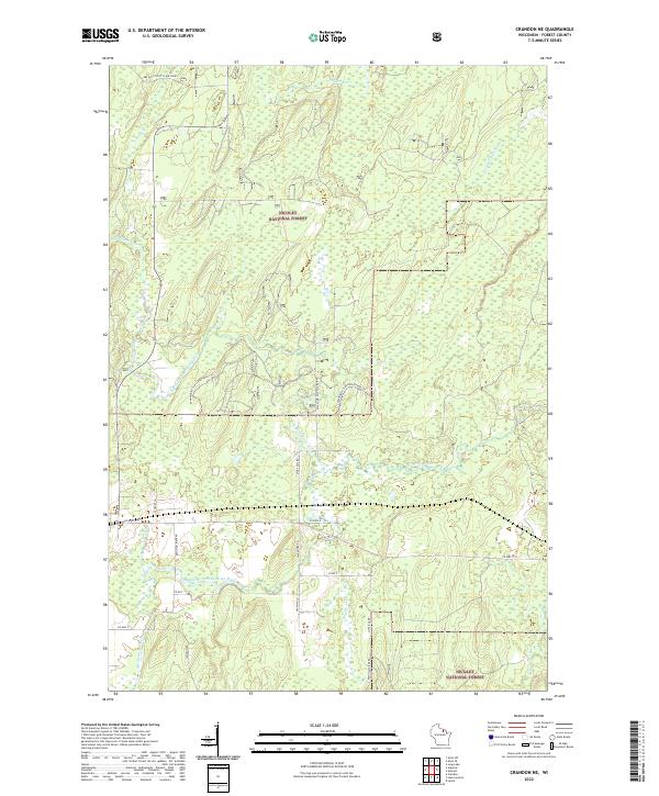
2022 Crandon NE
Forest County, WI
2022 Goodman SW
Forest County, WI
2022 Lake Gordon
Forest County, WI
2022 Lake Lucerne
Forest County, WI
2022 McCaslin Mountain
Forest County, WI
2022 Otter Lake
Forest County, WI
2022 Roberts Lake
Forest County, WI
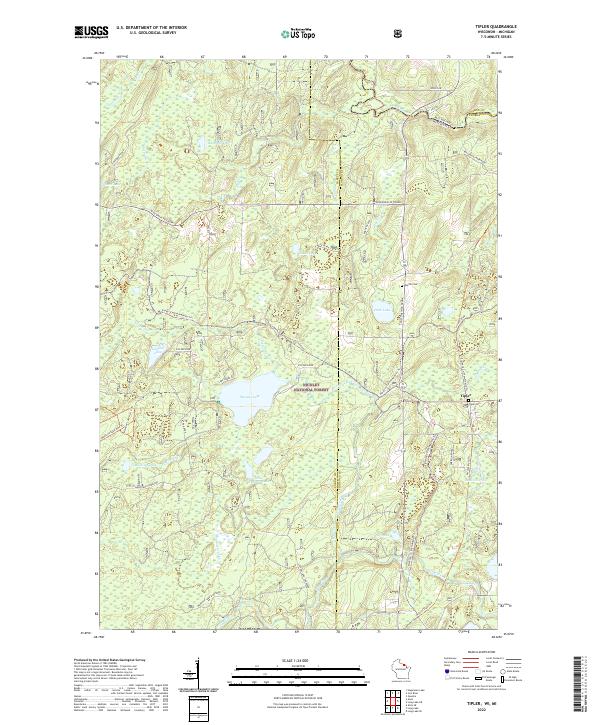
2022 Tipler
Forest County, WI