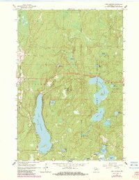
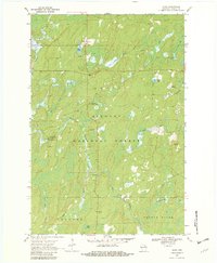
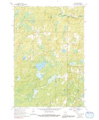
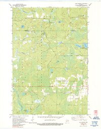
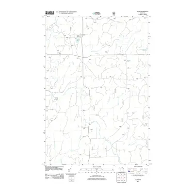
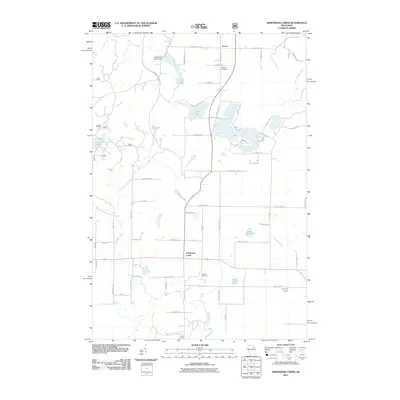
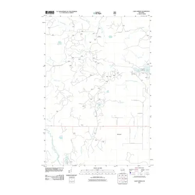
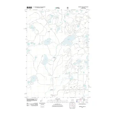
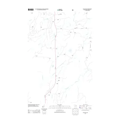
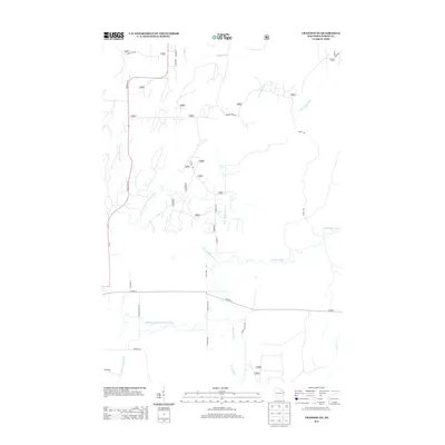
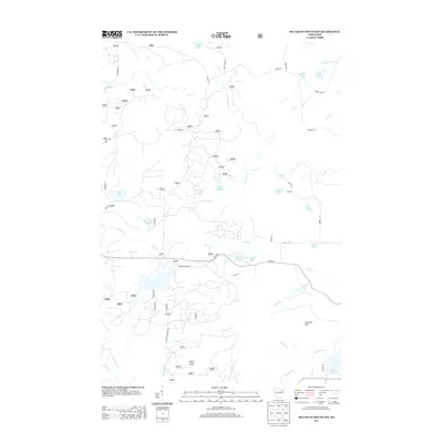
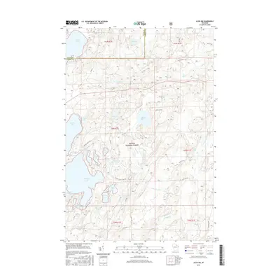
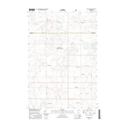
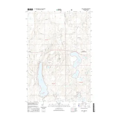
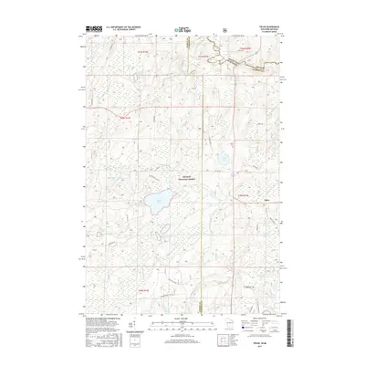
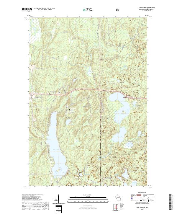
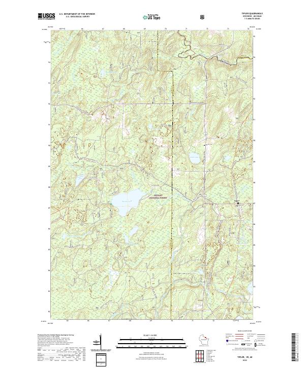
1965 Map of Lake Lucerne
USGS Topo · Published 1983About this map
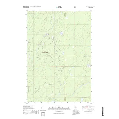
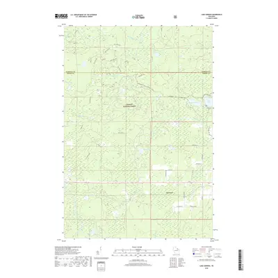
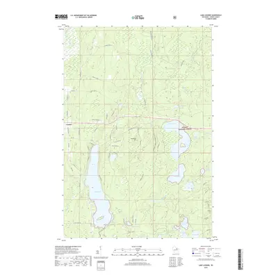
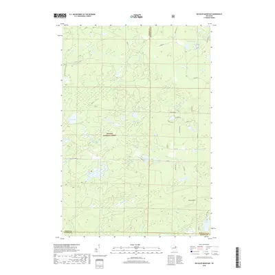
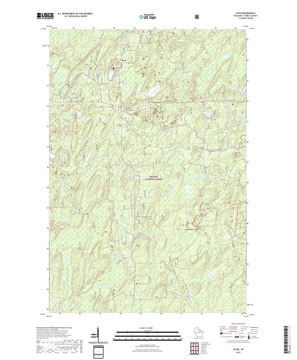
Nicolet National Forest dominates this mid-1960s landscape, encompassing a dense network of glacial lakes and northern Wisconsin waterways. The topography is defined by significant elevations like Sugarbush Hill, which serves as a central landmark overlooking the surrounding lake country. This survey illustrates the intricate hydrology of Forest County, where the Peshtigo River and Rat River drain through a terrain dotted with named basins including the expansive Lake Lucerne and Wabikon Lake. Cultural footprints are sparse but notable, reflecting the area's use for recreation and utility, such as the Boy Scout Camp on the shores of Hardwood Lake and a pipeline corridor cutting through the northern timber. The mapping of numerous gravel pits suggests the local materials used for road building in this heavily wooded region, while spring-fed features like Otter Springs and Johnson Springs highlight the high water table of the glacial drift.
Find a feature on this map
34 named features on this map. Tap any name to fly to it.
Don’t see what you’re looking for? This feature index may not catch every label — zoom into the map to look around manually.
Map Details
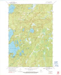
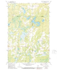
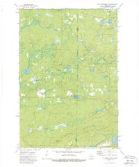
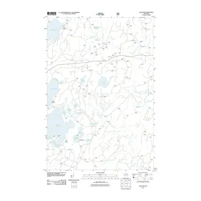
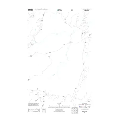
Editions of this 1965 Lake Lucerne Map
2 editions found
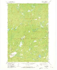
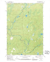
Historical Maps of Crandon Through Time
86 maps found
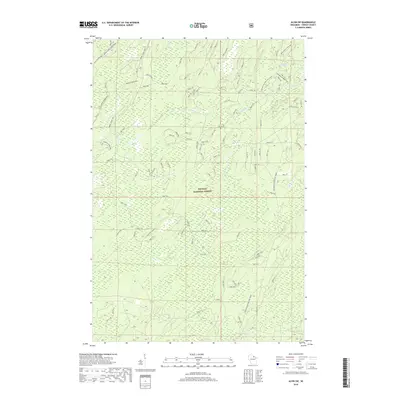
1938 Alvin
Forest County, WI

1946 Alvin
Forest County, WI
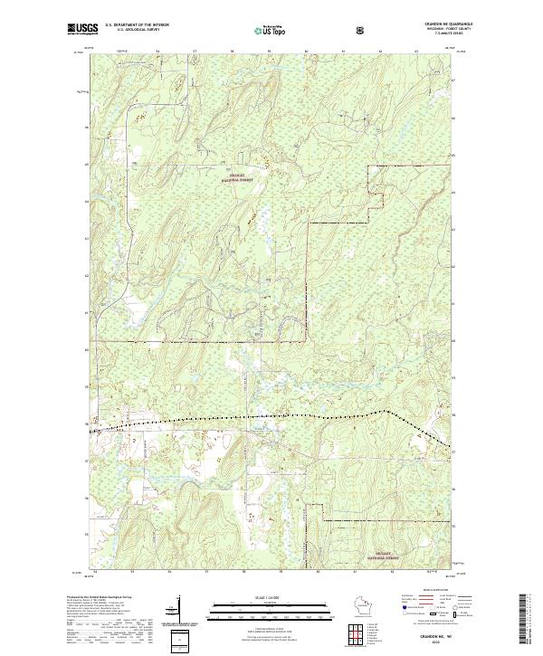
1965 Crandon NE
Forest County, WI
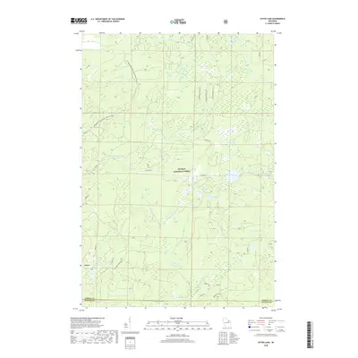
1965 Lake Lucerne
Forest County, WI
1970 Alvin
Forest County, WI
1970 Alvin NW
Forest County, WI
1970 Alvin SE
Forest County, WI
1970 Alvin SW
Forest County, WI
1970 Tipler
Forest County, WI
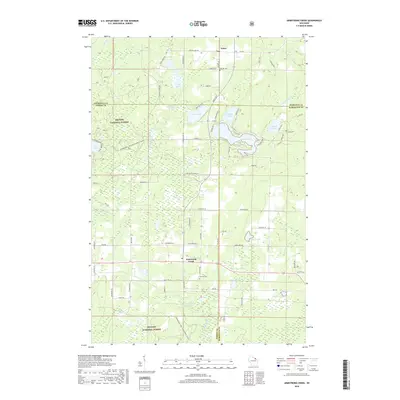
1972 Armstrong Creek
Forest County, WI
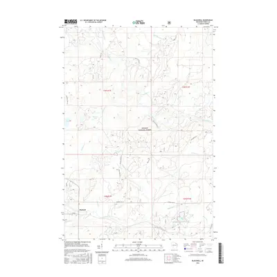
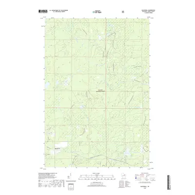
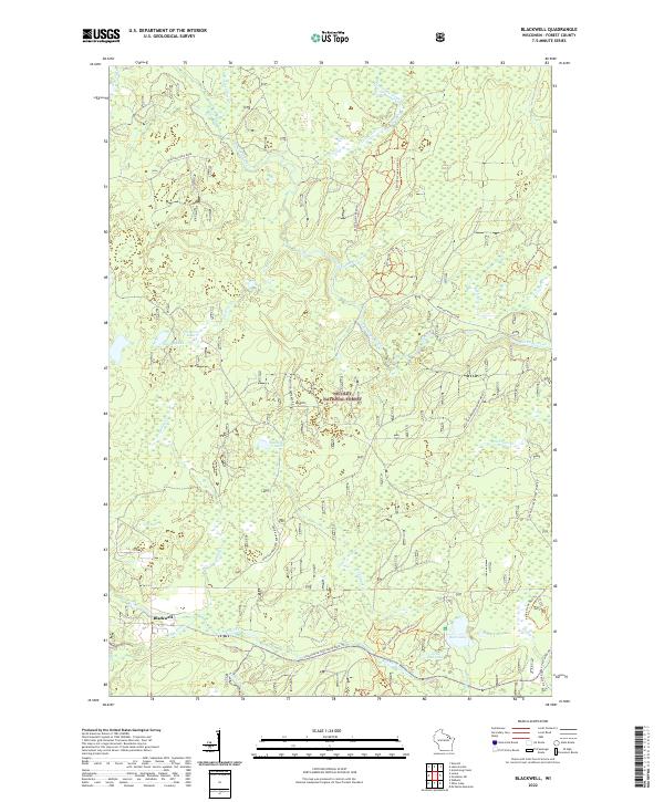
1972 Blackwell
Forest County, WI
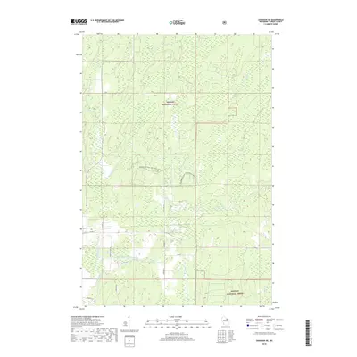
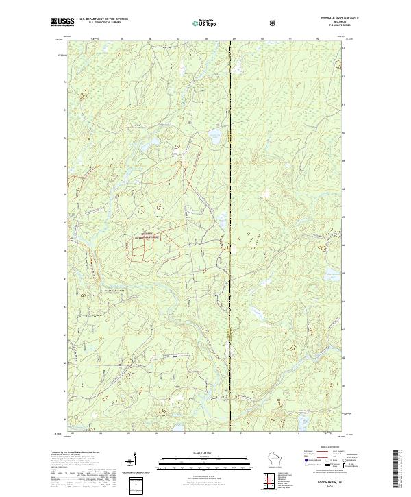
1972 Goodman SW
Forest County, WI
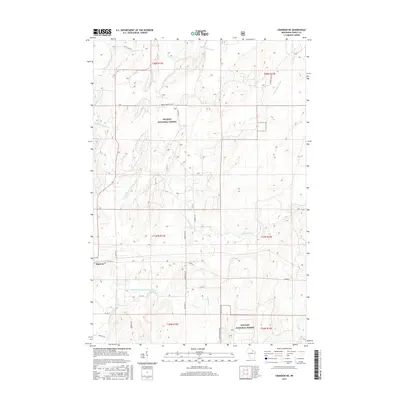
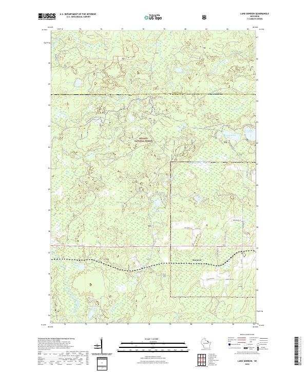
1972 Lake Gordon
Forest County, WI
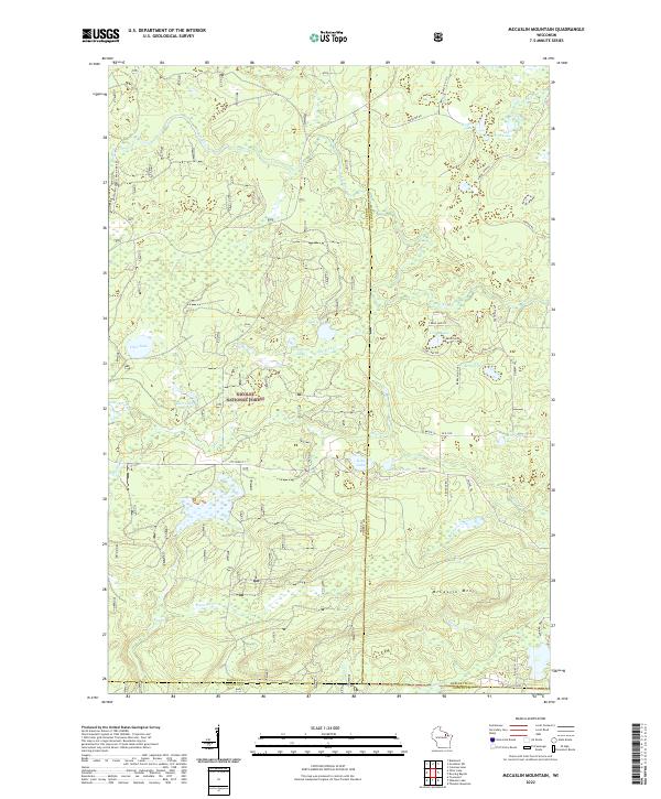
1972 Mc Caslin Mountain
Forest County, WI
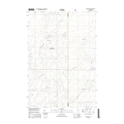
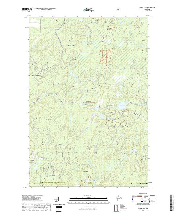
1972 Otter Lake
Forest County, WI
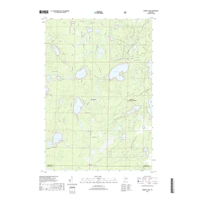
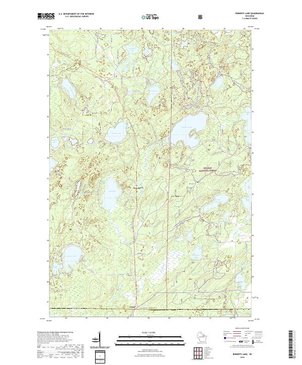
1973 Roberts Lake
Forest County, WI
2011 Alvin
Forest County, WI
2011 Alvin NW
Forest County, WI
2011 Alvin SE
Forest County, WI
2011 Alvin SW
Forest County, WI
2011 Armstrong Creek
Forest County, WI
2011 Blackwell
Forest County, WI
2011 Crandon NE
Forest County, WI
2011 Goodman SW
Forest County, WI
2011 Lake Gordon
Forest County, WI
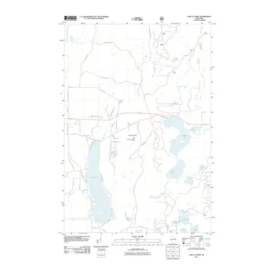
2011 Lake Lucerne
Forest County, WI
2011 McCaslin Mountain
Forest County, WI
2011 Otter Lake
Forest County, WI
2011 Roberts Lake
Forest County, WI
2011 Tipler
Forest County, WI
2013 Alvin
Forest County, WI
2013 Alvin NW
Forest County, WI
2013 Alvin SE
Forest County, WI
2013 Alvin SW
Forest County, WI
2013 Armstrong Creek
Forest County, WI
2013 Blackwell
Forest County, WI
2013 Crandon NE
Forest County, WI
2013 Goodman SW
Forest County, WI
2013 Lake Gordon
Forest County, WI
2013 Lake Lucerne
Forest County, WI
2013 McCaslin Mountain
Forest County, WI

2013 Otter Lake
Forest County, WI
2013 Roberts Lake
Forest County, WI
2013 Tipler
Forest County, WI
2015 Alvin
Forest County, WI
2015 Alvin NW
Forest County, WI
2015 Alvin SE
Forest County, WI
2015 Alvin SW
Forest County, WI
2015 Armstrong Creek
Forest County, WI
2015 Blackwell
Forest County, WI
2015 Crandon NE
Forest County, WI
2015 Goodman SW
Forest County, WI
2015 Lake Gordon
Forest County, WI
2015 Lake Lucerne
Forest County, WI
2015 McCaslin Mountain
Forest County, WI
2015 Otter Lake
Forest County, WI
2015 Roberts Lake
Forest County, WI
2015 Tipler
Forest County, WI
2018 Alvin
Forest County, WI
2018 Alvin NW
Forest County, WI
2018 Alvin SE
Forest County, WI
2018 Alvin SW
Forest County, WI
2018 Armstrong Creek
Forest County, WI
2018 Blackwell
Forest County, WI
2018 Crandon NE
Forest County, WI
2018 Goodman SW
Forest County, WI
2018 Lake Gordon
Forest County, WI
2018 Lake Lucerne
Forest County, WI
2018 McCaslin Mountain
Forest County, WI
2018 Otter Lake
Forest County, WI
2018 Roberts Lake
Forest County, WI
2018 Tipler
Forest County, WI
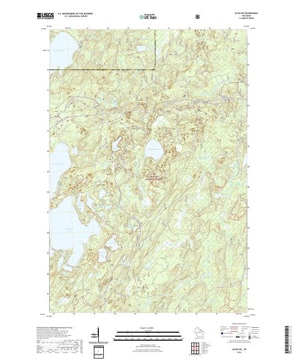
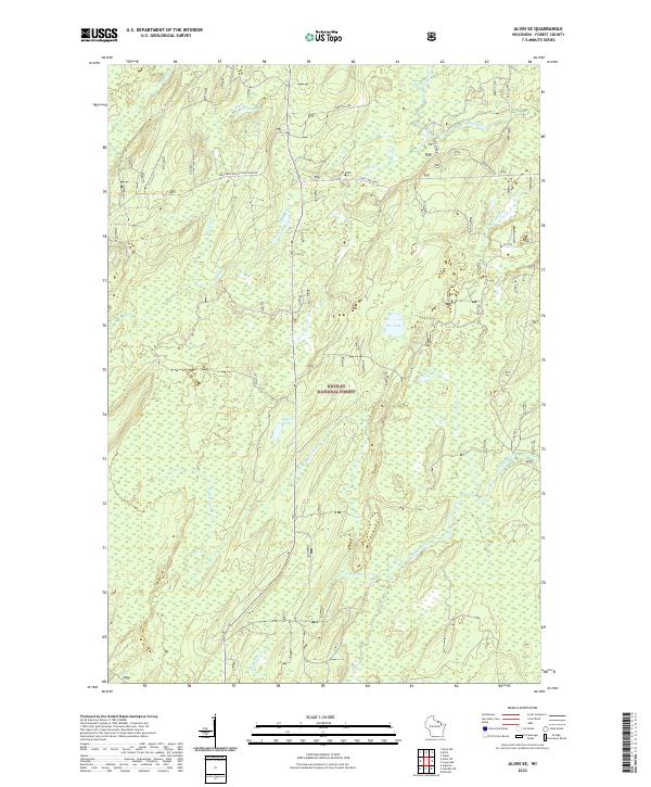
2022 Alvin
Forest County, WI
2022 Alvin NW
Forest County, WI
2022 Alvin SE
Forest County, WI
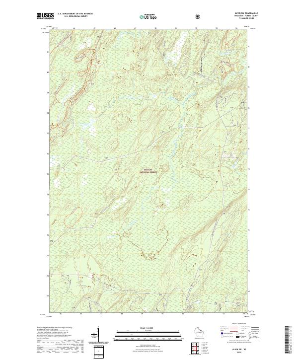
2022 Alvin SW
Forest County, WI
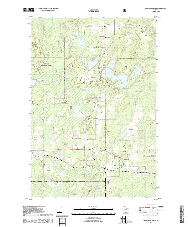
2022 Armstrong Creek
Forest County, WI
2022 Blackwell
Forest County, WI
2022 Crandon NE
Forest County, WI
2022 Goodman SW
Forest County, WI
2022 Lake Gordon
Forest County, WI
2022 Lake Lucerne
Forest County, WI
2022 McCaslin Mountain
Forest County, WI
2022 Otter Lake
Forest County, WI
2022 Roberts Lake
Forest County, WI
2022 Tipler
Forest County, WI