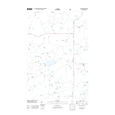
2013 Map of Tipler
USGS Topo · Published 2013About this map
Tipler serves as the primary settlement hub in this Northwoods landscape, where the intersection of State Hwy 70 and State Hwy 139 organizes the local geography. The area is defined by an intricate network of glacial lakes and small waterways, including Stevens Lake, Lilypad Lake, and Wapoose Lake. These water bodies, along with the Pine River to the south, supported a recreational economy visible through features like Klocks Resort and the Stevens Lake Campground.
Find a feature on this map
52 named features on this map. Tap any name to fly to it.
Don’t see what you’re looking for? This feature index may not catch every label — zoom into the map to look around manually.
Map Details
Editions of this 2013 Tipler Map
This is the sole edition of this map. No revisions or reprints were ever made.
Other maps of this area

1898 · Iron River
USGS Topo · 1:62,500

1938 · Alvin
USGS Topo · 1:48,000

1939 · Long Lake
USGS Topo · 1:48,000

1944 · Iron River
USGS Topo · 1:24,000

1944 · Gaastra
USGS Topo · 1:24,000

1946 · Iron River
USGS Topo · 1:31,680

1946 · Gaastra
USGS Topo · 1:31,680

1946 · Alvin
USGS Topo · 1:48,000

1948 · Long Lake
USGS Topo · 1:48,000

1954 · Iron Mountain
USGS Topo · 1:250,000