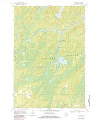
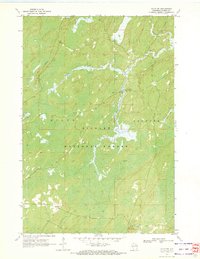
1970 Map of Alvin SW
USGS Topo · Published 1984About this map
The Nicolet National Forest dominates this section of Forest County, Wisconsin, appearing as a dense wilderness defined by its extensive water systems and former industrial corridors. In the early 1970s, the landscape was largely shaped by the winding course of the Pine River, which is fed by numerous tributaries including McDonald Creek and Kimball Creek. Human activity is primarily centered on recreation and resource extraction, evidenced by the Pine River Campground and several dispersed Gravel Pit locations.
Find a feature on this map
15 named features on this map. Tap any name to fly to it.
Don’t see what you’re looking for? This feature index may not catch every label — zoom into the map to look around manually.
Map Details
Editions of this 1970 Alvin SW Map
2 editions found
Other maps of this area

1928 · Three Lakes
USGS Topo · 1:48,000

1938 · Alvin
USGS Topo · 1:48,000

1938 · Three Lakes
USGS Topo · 1:48,000

1939 · Crandon
USGS Topo · 1:48,000

1940 · Monico
USGS Topo · 1:48,000

1941 · Crandon
USGS Topo · 1:48,000

1945 · Three Lakes
USGS Topo · 1:48,000

1946 · Alvin
USGS Topo · 1:48,000

1947 · Crandon
USGS Topo · 1:48,000

1950 · Monico
USGS Topo · 1:48,000