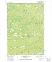
1972 Map of Mc Caslin Mountain
USGS Topo · Published 1988About this map
Nicolet National Forest dominates this landscape in northern Wisconsin, where the boundary lines of Forest, Oconto, and Marinette Counties converge. The terrain is defined by the prominent ridge of Mc Caslin Mountain, which serves as a backdrop for the McCaslin Lookout Tower. The northern reaches are characterized by the winding path of the Rat River, interspersed with numerous rapids and a secluded Cem near its banks.
Find a feature on this map
30 named features on this map. Tap any name to fly to it.
Don’t see what you’re looking for? This feature index may not catch every label — zoom into the map to look around manually.
Map Details
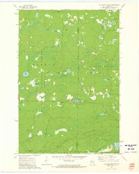
Editions of this 1972 Mc Caslin Mountain Map
2 editions found
Other maps of this area

1939 · Goodman
USGS Topo · 1:48,000

1939 · Laona
USGS Topo · 1:48,000

1940 · Thunder Mtn.
USGS Topo · 1:48,000

1942 · Wabeno
USGS Topo · 1:48,000

1946 · Laona
USGS Topo · 1:48,000

1946 · Goodman
USGS Topo · 1:48,000

1950 · Wabeno
USGS Topo · 1:48,000

1951 · Wabeno
USGS Topo · 1:48,000

1951 · Thunder Mountain
USGS Topo · 1:48,000

1954 · Iron Mountain
USGS Topo · 1:250,000