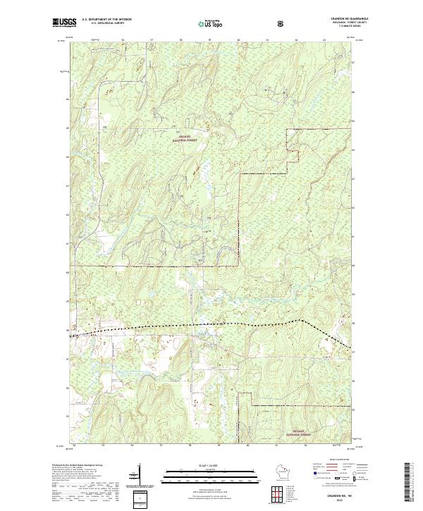
2022 Map of Crandon NE
USGS Topo · Published 2022About this map
Nicolet National Forest dominates this section of Forest County, where the upper reaches of the Peshtigo River system carve through a landscape defined by water and woods. The network of river branches, including the North Branch and Middle Branch, indicates the area's significance for regional hydrology and forest management. Modern infrastructure such as Lake Julia Scott Lake Road and the Snowmobile Trail Lkin Forest Trl provides access for forestry and recreation, while local thoroughfares like Peshtigo River Rd and Otter Ck Rd connect isolated tracks. The presence of the Farm Service Agency Interest of Wisconsin suggests a specific layer of public land management within the broader federal forest boundaries. In the northern sections, the Popple River and Little Popple River flow through dense townships, marking a transition toward the Pine River watershed.
Find a feature on this map
30 named features on this map. Tap any name to fly to it.
Don’t see what you’re looking for? This feature index may not catch every label — zoom into the map to look around manually.
Map Details
Editions of this 2022 Crandon NE Map
This is the sole edition of this map. No revisions or reprints were ever made.
Other maps of this area

1938 · Alvin
USGS Topo · 1:48,000

1939 · Crandon
USGS Topo · 1:48,000

1939 · Laona
USGS Topo · 1:48,000

1939 · Long Lake
USGS Topo · 1:48,000

1941 · Crandon
USGS Topo · 1:48,000

1946 · Laona
USGS Topo · 1:48,000

1946 · Alvin
USGS Topo · 1:48,000

1947 · Crandon
USGS Topo · 1:48,000

1948 · Long Lake
USGS Topo · 1:48,000

1954 · Iron Mountain
USGS Topo · 1:250,000