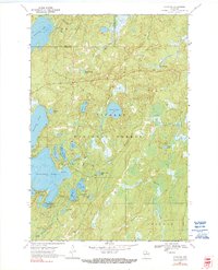
1970 Map of Alvin NW
USGS Topo · Published 1991About this map
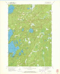
Nicolet National Forest dominates this landscape in northern Wisconsin, where the headwaters of the Brule River and the North Branch Pine River drain a terrain dense with glacial lakes. This 1970 field-checked survey reveals a backcountry defined by water and recreational sites, particularly concentrated around the Butternut Lake and Franklin Lake systems. Notable for local history and outdoor research, the map highlights the established Luna-White Deer Campground and Camp White Deer, alongside more remote features like Indian Camp Lake and Two Sisters Lakes. The boundary between Vilas County and Forest County runs through the northern section, crossing through the timbered wetlands near Kentuck Lake. The absence of developed towns underscores the area's character as a preserved wilderness at the height of the mid-century forest management era.
Find a feature on this map
40 named features on this map. Tap any name to fly to it.
Don’t see what you’re looking for? This feature index may not catch every label — zoom into the map to look around manually.
Map Details
Editions of this 1970 Alvin NW Map
2 editions found
Other maps of this area

1928 · Three Lakes
USGS Topo · 1:48,000

1938 · Phelps
USGS Topo · 1:48,000

1938 · Alvin
USGS Topo · 1:48,000

1938 · Three Lakes
USGS Topo · 1:48,000

1945 · Three Lakes
USGS Topo · 1:48,000

1946 · Alvin
USGS Topo · 1:48,000

1950 · Phelps
USGS Topo · 1:48,000

1954 · Iron Mountain
USGS Topo · 1:250,000

1956 · Beechwood
USGS Topo · 1:62,500

1956 · Phelps
USGS Topo · 1:62,500