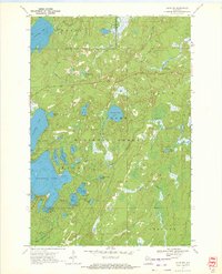
1970 Map of Alvin NW
USGS Topo · Published 1972About this map
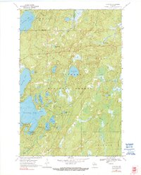
Nicolet National Forest dominates this northern Wisconsin landscape at the turn of the 1970s, where the glacial legacy is evident in a dense network of lakes and waterways. The border between Vilas and Forest counties splits the northern portion of the map, while large water bodies like Butternut Lake and Kentuck Lake serve as central landmarks. Recreation and timber management define the area's character, with multiple sites such as the Luna-White Deer Campground and various boat ramps supporting local activity.
Find a feature on this map
38 named features on this map. Tap any name to fly to it.
Don’t see what you’re looking for? This feature index may not catch every label — zoom into the map to look around manually.
Map Details
Editions of this 1970 Alvin NW Map
2 editions found
Other maps of this area

1928 · Three Lakes
USGS Topo · 1:48,000

1938 · Phelps
USGS Topo · 1:48,000

1938 · Alvin
USGS Topo · 1:48,000

1938 · Three Lakes
USGS Topo · 1:48,000

1945 · Three Lakes
USGS Topo · 1:48,000

1946 · Alvin
USGS Topo · 1:48,000

1950 · Phelps
USGS Topo · 1:48,000

1954 · Iron Mountain
USGS Topo · 1:250,000

1956 · Beechwood
USGS Topo · 1:62,500

1956 · Phelps
USGS Topo · 1:62,500