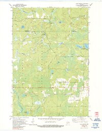
1972 Map of Lake Gordon
USGS Topo · Published 1988About this map
Nicolet National Forest dominates this landscape in the early 1970s, showcasing a densely wooded region defined by its glacial hydrology and timber resources. The map highlights the intersection of Forest and Florence counties, where the Soo Line railroad cuts an east-west path across the southern terrain. This industrial artery connects with various natural water features, including the Peshtigo River and the South Branch Popple River.
Find a feature on this map
27 named features on this map. Tap any name to fly to it.
Don’t see what you’re looking for? This feature index may not catch every label — zoom into the map to look around manually.
Map Details
Editions of this 1972 Lake Gordon Map
2 editions found
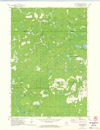
Other maps of this area

1939 · Goodman
USGS Topo · 1:48,000

1939 · Laona
USGS Topo · 1:48,000

1939 · Long Lake
USGS Topo · 1:48,000

1941 · Florence
USGS Topo · 1:48,000

1946 · Laona
USGS Topo · 1:48,000

1946 · Goodman
USGS Topo · 1:48,000

1948 · Long Lake
USGS Topo · 1:48,000

1954 · Iron Mountain
USGS Topo · 1:250,000

1959 · Iron Mountain
USGS Topo · 1:250,000
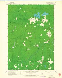
1962 · Florence SW
USGS Topo · 1:24,000