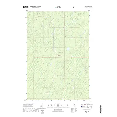
2018 Map of Alvin SE
USGS Topo · Published 2018About this map
The Nicolet National Forest dominates this northern Wisconsin landscape, where the headwaters of the Popple River and Pine River carve through a network of wetlands and glacial lakes. This 2018 survey reveals a modern wilderness structured by Forest Service infrastructure and legacy timber roads such as Sheltered Valley Pine River Rd and McArthur Pine Rd. The topography is defined by scattered water bodies, including the centrally located Rat Lake and the marshy expanses of Rogers Lake and Waite Lake. This map documents a region largely devoid of permanent settlements, focused instead on the preservation and management of its waterways and timber stands. The presence of numerous numbered Forest Development Roads, like fdr618414 and fdr718210, illustrates the modern utility of this managed forest for recreation and conservation efforts.
Find a feature on this map
37 named features on this map. Tap any name to fly to it.
Don’t see what you’re looking for? This feature index may not catch every label — zoom into the map to look around manually.
Map Details
Editions of this 2018 Alvin SE Map
This is the sole edition of this map. No revisions or reprints were ever made.
Other maps of this area

1938 · Alvin
USGS Topo · 1:48,000

1939 · Crandon
USGS Topo · 1:48,000

1939 · Laona
USGS Topo · 1:48,000

1939 · Long Lake
USGS Topo · 1:48,000

1941 · Crandon
USGS Topo · 1:48,000

1946 · Laona
USGS Topo · 1:48,000

1946 · Alvin
USGS Topo · 1:48,000

1947 · Crandon
USGS Topo · 1:48,000

1948 · Long Lake
USGS Topo · 1:48,000

1954 · Iron Mountain
USGS Topo · 1:250,000