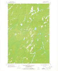
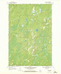
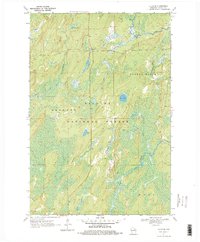
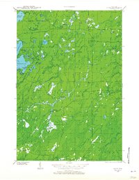
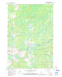
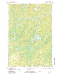
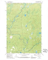
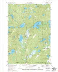
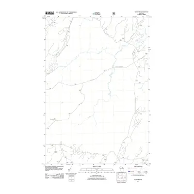
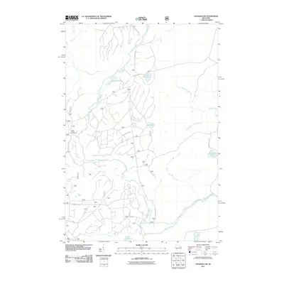
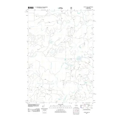
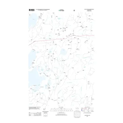
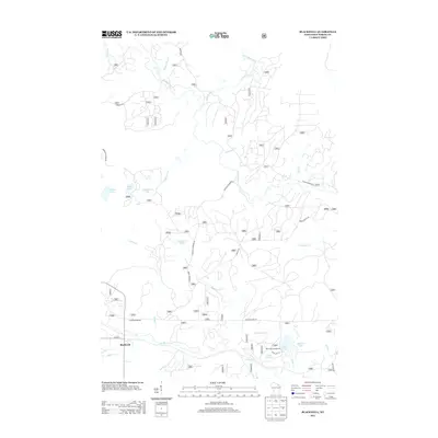
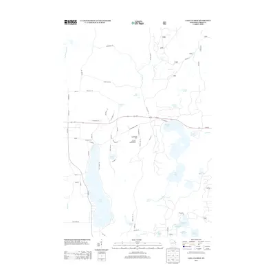
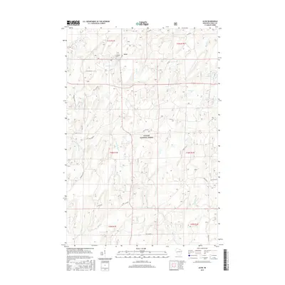
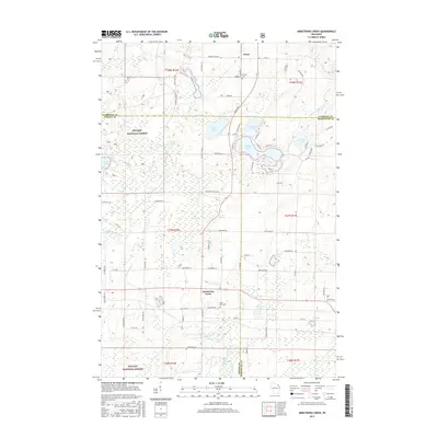
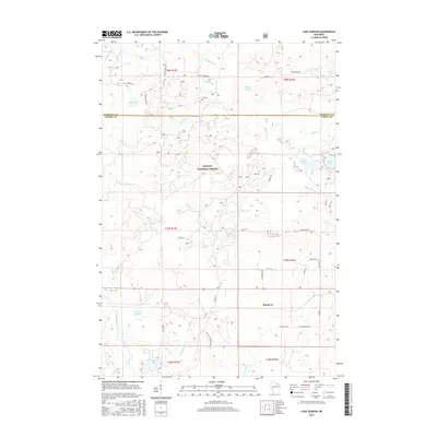
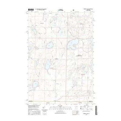
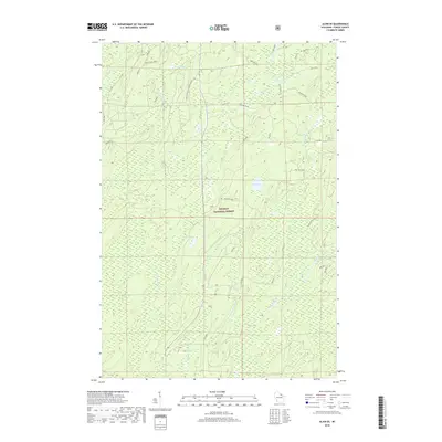
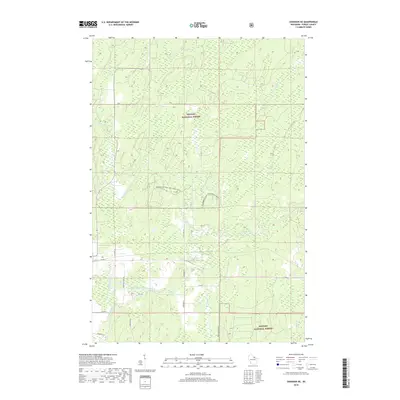
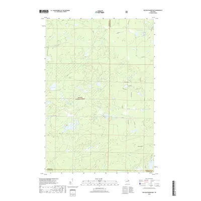
1970 Map of Alvin SE
USGS Topo · Published 1978About this map
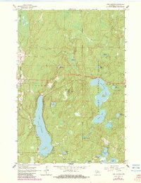
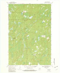
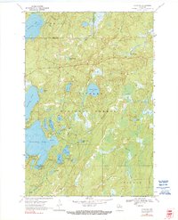
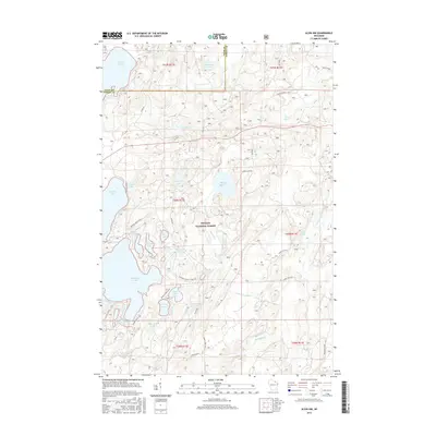
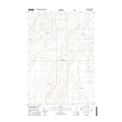
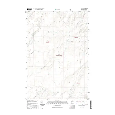
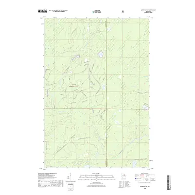
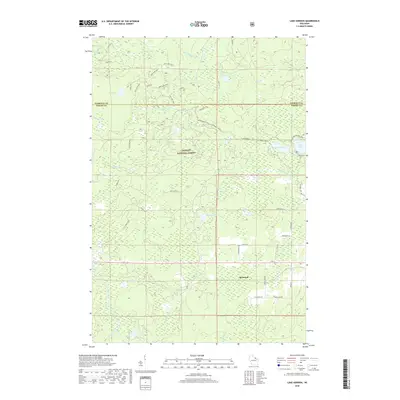
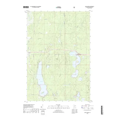
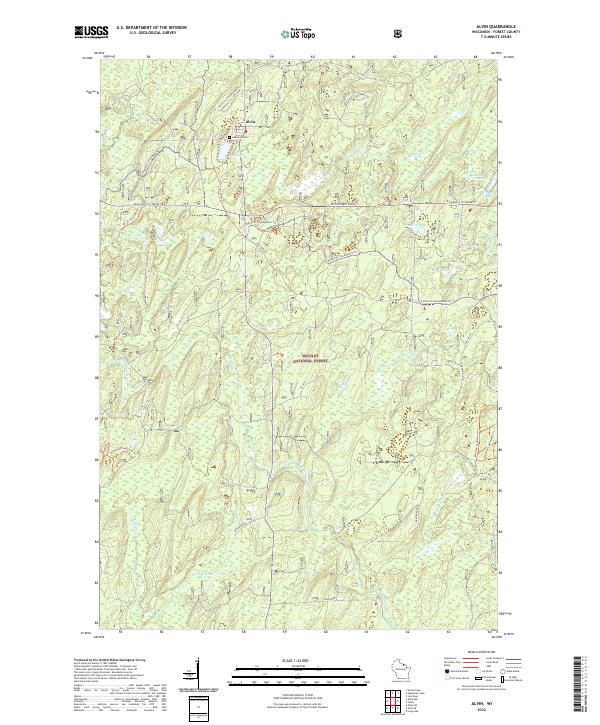
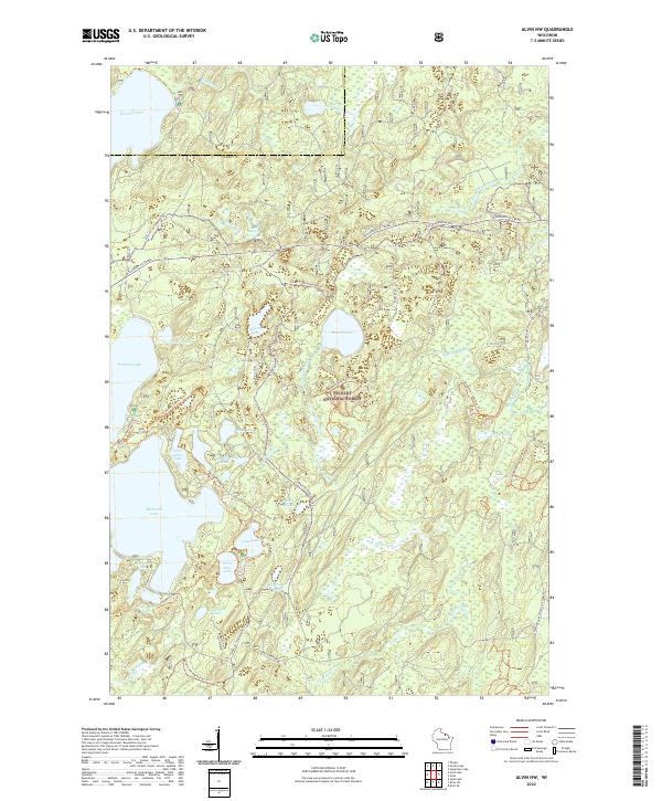
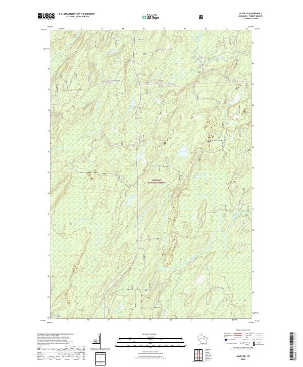
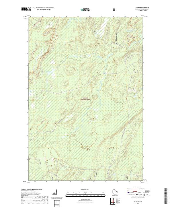
The Nicolet National Forest and Argonne National Forest dominate this 1970s landscape in Forest County, Wisconsin. The terrain is defined by a complex network of glacial waterways and wetlands, centered around the Pine River and the North Branch Popple River. These river systems, along with smaller tributaries like Jones Creek and Sawyer Creek, weave through dense woodland and swampy basins, creating a landscape that remains largely undeveloped and preserved for timber and recreation.
Find a feature on this map
13 named features on this map. Tap any name to fly to it.
Don’t see what you’re looking for? This feature index may not catch every label — zoom into the map to look around manually.
Map Details
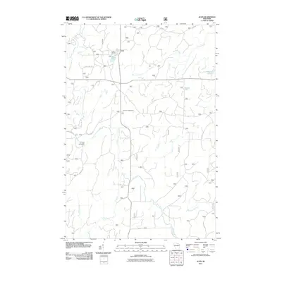
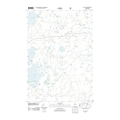
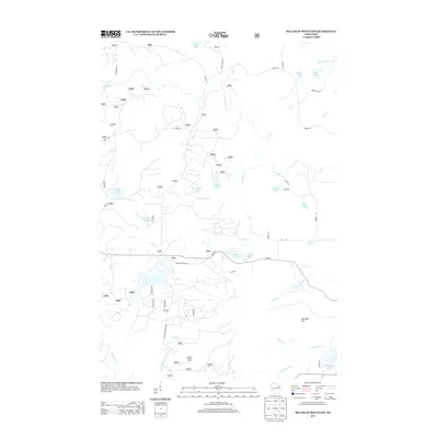
Editions of this 1970 Alvin SE Map
3 editions found
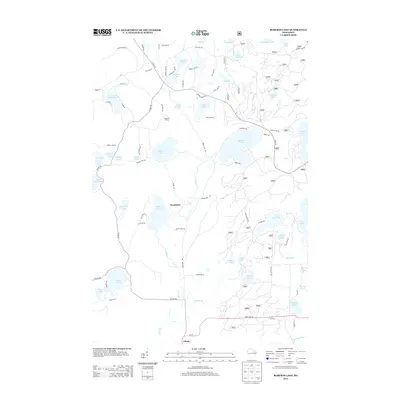
Historical Maps of Argonne Through Time
86 maps found
1938 Alvin
Forest County, WI

1946 Alvin
Forest County, WI
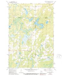
1965 Crandon NE
Forest County, WI
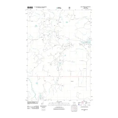
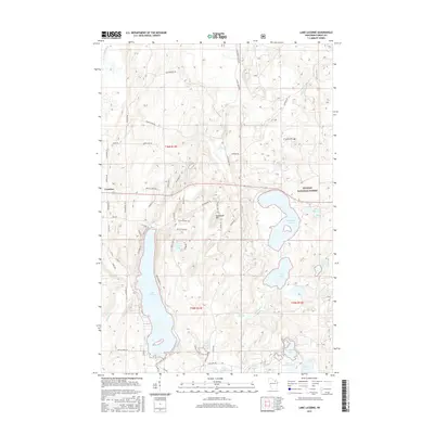
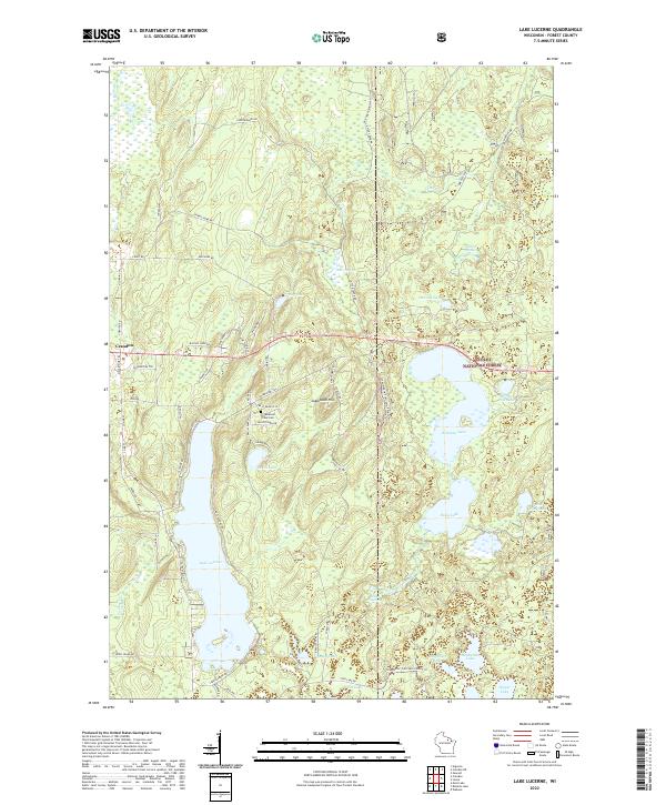
1965 Lake Lucerne
Forest County, WI
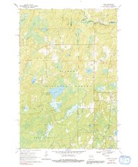
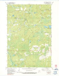
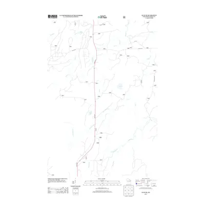
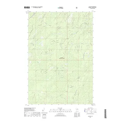
1970 Alvin
Forest County, WI
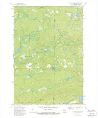
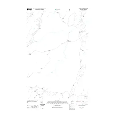
1970 Alvin NW
Forest County, WI
1970 Alvin SE
Forest County, WI
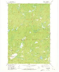
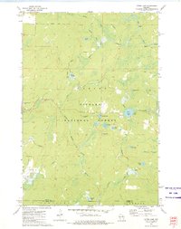
1970 Alvin SW
Forest County, WI
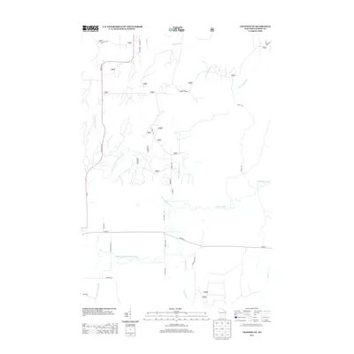
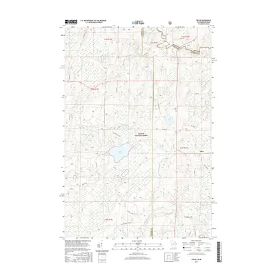
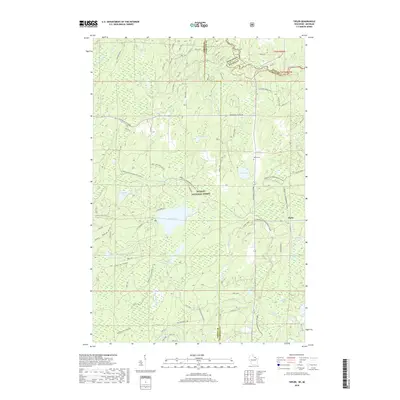
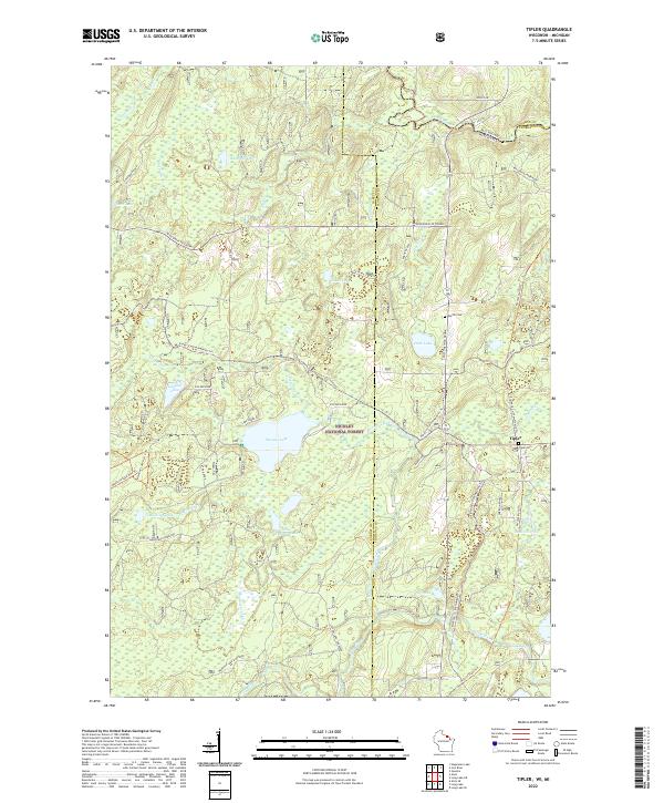
1970 Tipler
Forest County, WI
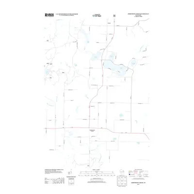
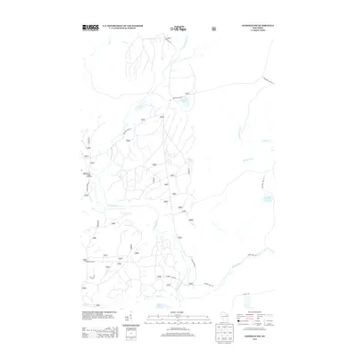
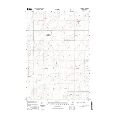
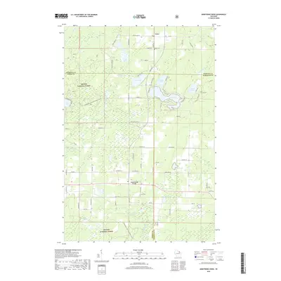
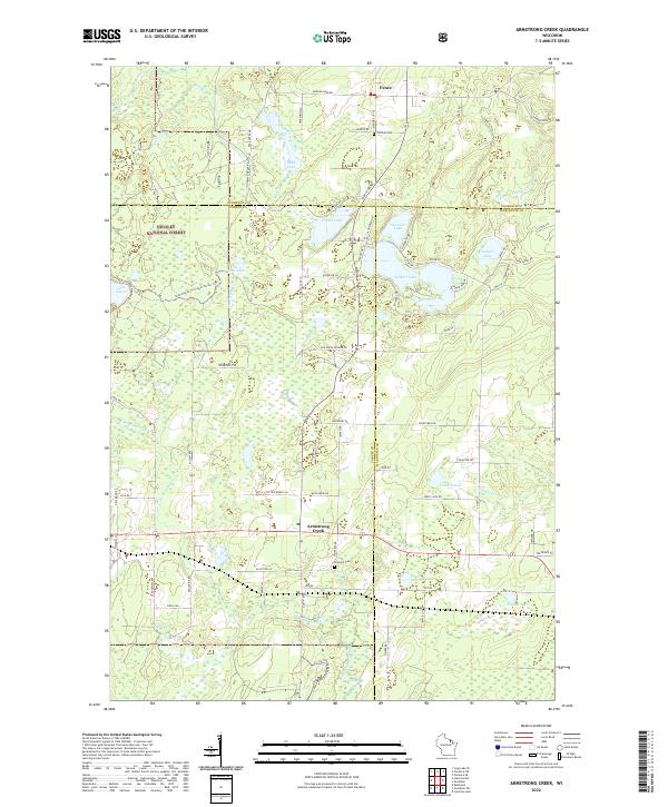
1972 Armstrong Creek
Forest County, WI
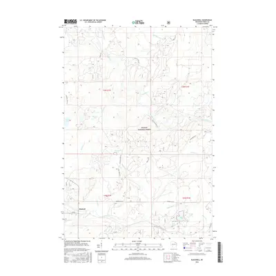
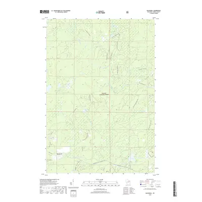
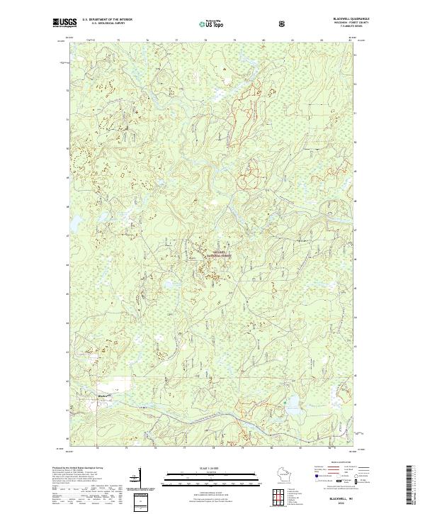
1972 Blackwell
Forest County, WI
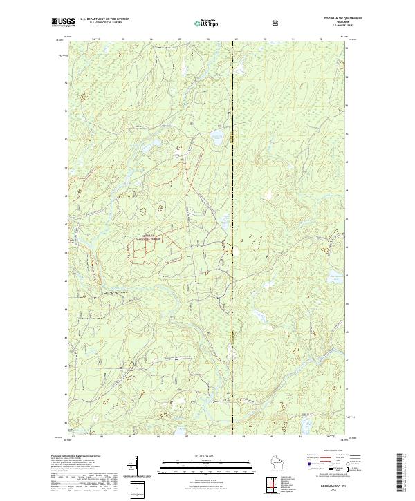
1972 Goodman SW
Forest County, WI
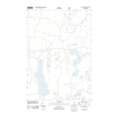
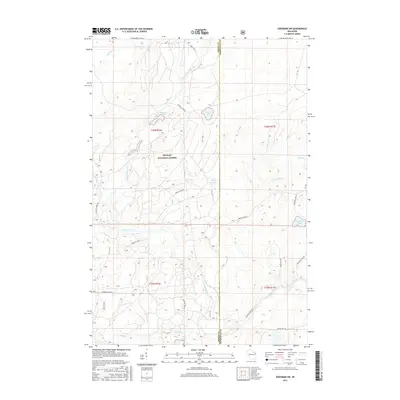
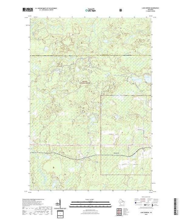
1972 Lake Gordon
Forest County, WI
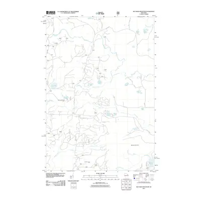
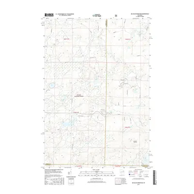
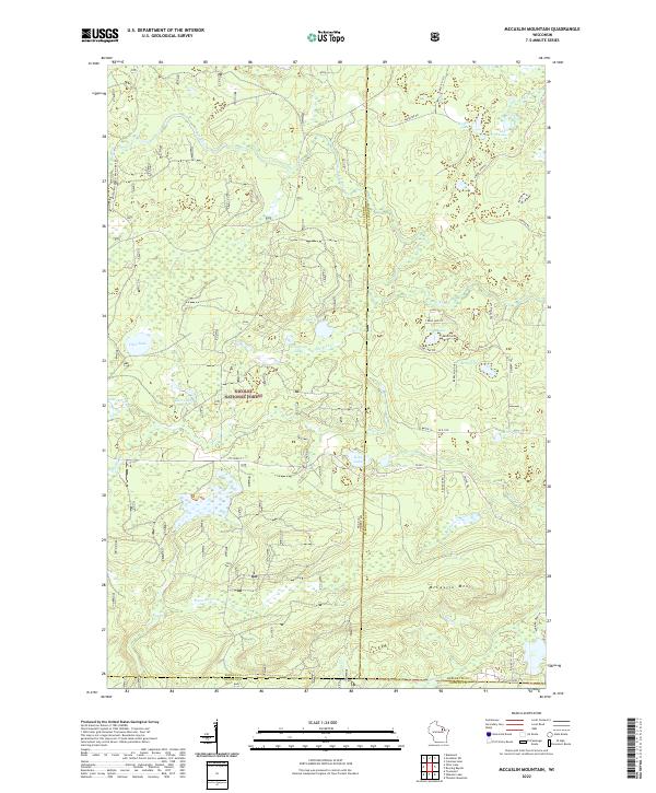
1972 Mc Caslin Mountain
Forest County, WI
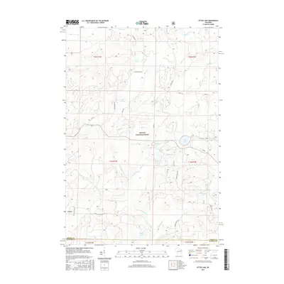
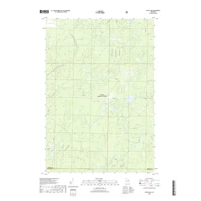
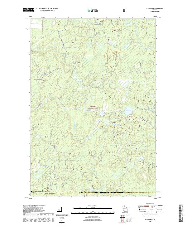
1972 Otter Lake
Forest County, WI
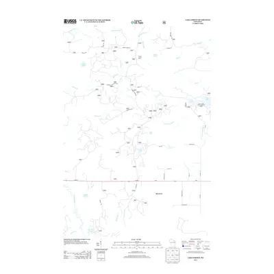
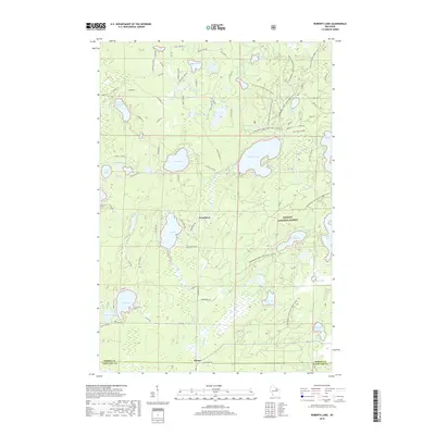
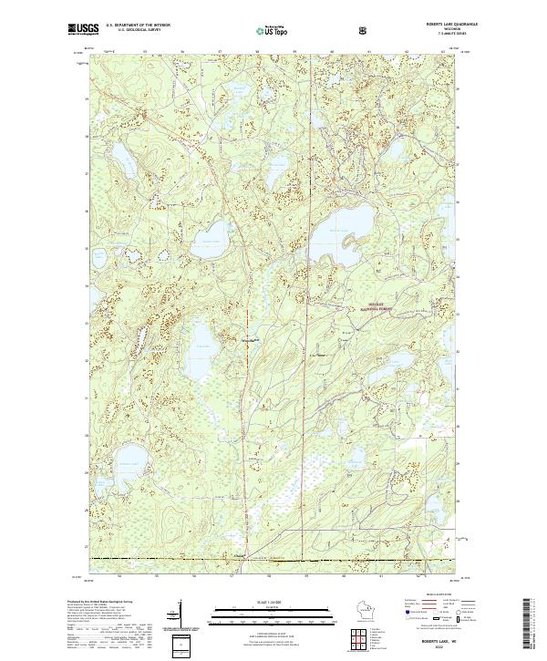
1973 Roberts Lake
Forest County, WI
2011 Alvin
Forest County, WI
2011 Alvin NW
Forest County, WI
2011 Alvin SE
Forest County, WI
2011 Alvin SW
Forest County, WI
2011 Armstrong Creek
Forest County, WI
2011 Blackwell
Forest County, WI
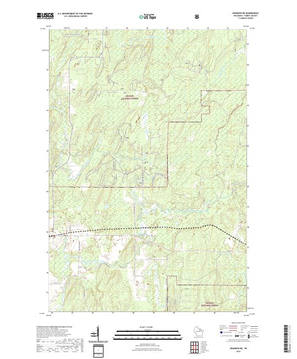
2011 Crandon NE
Forest County, WI
2011 Goodman SW
Forest County, WI
2011 Lake Gordon
Forest County, WI
2011 Lake Lucerne
Forest County, WI
2011 McCaslin Mountain
Forest County, WI
2011 Otter Lake
Forest County, WI
2011 Roberts Lake
Forest County, WI
2011 Tipler
Forest County, WI
2013 Alvin
Forest County, WI
2013 Alvin NW
Forest County, WI
2013 Alvin SE
Forest County, WI
2013 Alvin SW
Forest County, WI
2013 Armstrong Creek
Forest County, WI
2013 Blackwell
Forest County, WI
2013 Crandon NE
Forest County, WI
2013 Goodman SW
Forest County, WI
2013 Lake Gordon
Forest County, WI
2013 Lake Lucerne
Forest County, WI
2013 McCaslin Mountain
Forest County, WI

2013 Otter Lake
Forest County, WI
2013 Roberts Lake
Forest County, WI
2013 Tipler
Forest County, WI
2015 Alvin
Forest County, WI
2015 Alvin NW
Forest County, WI
2015 Alvin SE
Forest County, WI
2015 Alvin SW
Forest County, WI
2015 Armstrong Creek
Forest County, WI
2015 Blackwell
Forest County, WI
2015 Crandon NE
Forest County, WI
2015 Goodman SW
Forest County, WI
2015 Lake Gordon
Forest County, WI
2015 Lake Lucerne
Forest County, WI
2015 McCaslin Mountain
Forest County, WI
2015 Otter Lake
Forest County, WI
2015 Roberts Lake
Forest County, WI
2015 Tipler
Forest County, WI
2018 Alvin
Forest County, WI
2018 Alvin NW
Forest County, WI
2018 Alvin SE
Forest County, WI
2018 Alvin SW
Forest County, WI
2018 Armstrong Creek
Forest County, WI
2018 Blackwell
Forest County, WI
2018 Crandon NE
Forest County, WI
2018 Goodman SW
Forest County, WI
2018 Lake Gordon
Forest County, WI
2018 Lake Lucerne
Forest County, WI
2018 McCaslin Mountain
Forest County, WI
2018 Otter Lake
Forest County, WI
2018 Roberts Lake
Forest County, WI
2018 Tipler
Forest County, WI
2022 Alvin
Forest County, WI
2022 Alvin NW
Forest County, WI
2022 Alvin SE
Forest County, WI
2022 Alvin SW
Forest County, WI
2022 Armstrong Creek
Forest County, WI
2022 Blackwell
Forest County, WI
2022 Crandon NE
Forest County, WI
2022 Goodman SW
Forest County, WI
2022 Lake Gordon
Forest County, WI
2022 Lake Lucerne
Forest County, WI
2022 McCaslin Mountain
Forest County, WI
2022 Otter Lake
Forest County, WI
2022 Roberts Lake
Forest County, WI
2022 Tipler
Forest County, WI