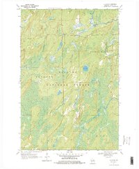
1970 Map of Alvin SE
USGS Topo · Published 1978About this map
Nicolet National Forest dominates this northern Wisconsin landscape, revealing a densely wooded and water-carved terrain within the Argonne and Ross districts. The hydrography of the region is complex, defined by the winding course of the Pine River and the North Branch Pine River in the northwest, and the Popple River and South Branch Popple River system to the east. These waterways, alongside smaller tributaries like Jones Creek and Armstrong Creek, suggest a landscape shaped by timber and conservation efforts during the mid-20th century.
Find a feature on this map
13 named features on this map. Tap any name to fly to it.
Don’t see what you’re looking for? This feature index may not catch every label — zoom into the map to look around manually.
Map Details
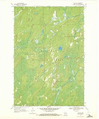
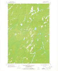
Editions of this 1970 Alvin SE Map
3 editions found
Other maps of this area

1938 · Alvin
USGS Topo · 1:48,000

1939 · Crandon
USGS Topo · 1:48,000

1939 · Laona
USGS Topo · 1:48,000

1939 · Long Lake
USGS Topo · 1:48,000

1941 · Crandon
USGS Topo · 1:48,000

1946 · Laona
USGS Topo · 1:48,000

1946 · Alvin
USGS Topo · 1:48,000

1947 · Crandon
USGS Topo · 1:48,000

1948 · Long Lake
USGS Topo · 1:48,000

1954 · Iron Mountain
USGS Topo · 1:250,000