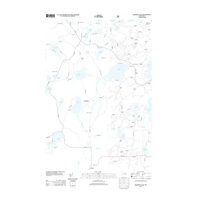
2013 Map of Roberts Lake
USGS Topo · Published 2013About this map
Roberts Lake serves as a central landmark in this glaciated landscape of Forest County, surrounded by a dense network of smaller water bodies such as Ludington Lake, Eds Lake, and Jungle Lake. The settlement patterns recorded here include the small community of Woodlawn and the uniquely named Pig Snout Siding, reflecting the area's history of rail-and-timber transport. In the southern reaches, the Lily River flows past Choate near the intersection of State Hwy 52, carving a path through a terrain defined by wetlands and pocketed lakes like Bogbrook Lake and Arbutus Lake. The map details an intricate system of local roads and shore landings, such as E Shore Ln and W Shore Ln on Ground Hemlock Lake, illustrating the transition from wilderness to recreational and residential development in this part of northern Wisconsin.
Find a feature on this map
84 named features on this map. Tap any name to fly to it.
Don’t see what you’re looking for? This feature index may not catch every label — zoom into the map to look around manually.
Map Details
Editions of this 2013 Roberts Lake Map
This is the sole edition of this map. No revisions or reprints were ever made.
Other maps of this area

1939 · Crandon
USGS Topo · 1:48,000

1939 · Laona
USGS Topo · 1:48,000

1941 · Crandon
USGS Topo · 1:48,000

1942 · Wabeno
USGS Topo · 1:48,000

1942 · Pearson
USGS Topo · 1:48,000

1946 · Laona
USGS Topo · 1:48,000

1947 · Crandon
USGS Topo · 1:48,000

1950 · Wabeno
USGS Topo · 1:48,000

1950 · Lily
USGS Topo · 1:48,000

1951 · Wabeno
USGS Topo · 1:48,000