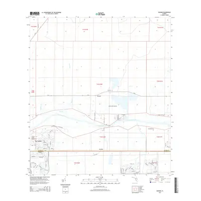
2015 Map of Goodno
USGS Topo · Published 2015About this map
Ortona and Goodno anchor this Glades and Hendry County landscape, where the Caloosahatchee River and the engineered Caloosahatchee Canal dominate the terrain. The map captures the meeting point of natural drainage and modern water management, seen in the convergence of Cypress Br, Deadmans Br, and Long Hammock Creek with the main river system. Toward the west, the residential patterns of Port LaBelle begin to emerge, contrasting with the more rural, hammock-studded lands to the east.
Find a feature on this map
81 named features on this map. Tap any name to fly to it.
Don’t see what you’re looking for? This feature index may not catch every label — zoom into the map to look around manually.
Map Details
Editions of this 2015 Goodno Map
This is the sole edition of this map. No revisions or reprints were ever made.
Other maps of this area

1956 · West Palm Beach
USGS Topo · 1:250,000

1957 · West Palm Beach
USGS Topo · 1:250,000

1958 · West Palm Beach
USGS Topo · 1:250,000

1958 · La Belle NW
USGS Topo · 1:24,000

1958 · Goodno
USGS Topo · 1:24,000

1958 · Felda NE
USGS Topo · 1:24,000

1958 · Sears
USGS Topo · 1:24,000
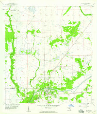
1958 · La Belle
USGS Topo · 1:24,000
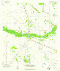
1958 · Palmdale
USGS Topo · 1:24,000
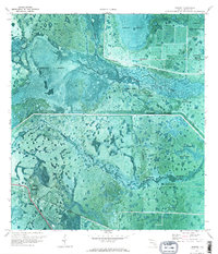
1970 · Lakeport
USGS Topo · 1:24,000