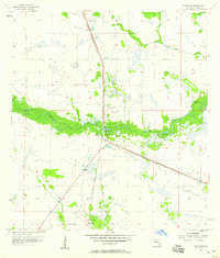
1958 Map of Palmdale
USGS Topo · Published 1959About this map
Fisheating Creek meanders through this section of Glades County, shaping a landscape defined by seasonal wetlands and small, isolated hammocks. During the late 1950s, the Atlantic Coast Line railroad provided the primary infrastructure for this interior Florida region, connecting the small settlements of Palmdale and Harrisburg. The map reveals a transition from natural creek drainage to human-engineered water management, evidenced by the prominent Levee structures and a Borrow Pit near the rail line.
Find a feature on this map
14 named features on this map. Tap any name to fly to it.
Don’t see what you’re looking for? This feature index may not catch every label — zoom into the map to look around manually.
Map Details
Editions of this 1958 Palmdale Map
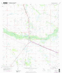
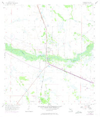
Other maps of this area

1953 · Brighton SW
USGS Topo · 1:24,000

1956 · West Palm Beach
USGS Topo · 1:250,000

1956 · Fort Pierce
USGS Topo · 1:250,000

1957 · West Palm Beach
USGS Topo · 1:250,000

1957 · Venus
USGS Topo · 1:24,000

1957 · Venus SW
USGS Topo · 1:24,000

1958 · Fort Pierce
USGS Topo · 1:250,000

1958 · West Palm Beach
USGS Topo · 1:250,000

1958 · La Belle NW
USGS Topo · 1:24,000

1958 · Goodno
USGS Topo · 1:24,000