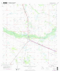
1958 Map of Palmdale
USGS Topo · Published 1973About this map
Fisheating Creek meanders through the heart of the Florida interior, creating a dense riparian corridor that breaks the geometric grid of the Glades. In this 1958 landscape, revised in 1973, the settlement of Palmdale serves as a central hub where the Seaboard Coast Line railroad intersects with local roads. To the south, the community of Harrisburg sits near a prominent Levee and Borrow Pit, signaling the early engineering efforts to manage the wetlands of south-central Florida. The southern portion of the quadrangle includes Hall City, positioned near the Turkey Branch and York Branch waterways. This map documents a transitional period for the region, showing established Flowing Well sites and a Gaging Station used to monitor the vital waters of Picnic Lake and Rock Lake before more extensive drainage and development altered the natural hydrology of the Everglades basin.
Find a feature on this map
22 named features on this map. Tap any name to fly to it.
Don’t see what you’re looking for? This feature index may not catch every label — zoom into the map to look around manually.
Map Details
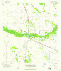
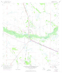
Editions of this 1958 Palmdale Map
Other maps of this area

1953 · Brighton SW
USGS Topo · 1:24,000

1956 · West Palm Beach
USGS Topo · 1:250,000

1956 · Fort Pierce
USGS Topo · 1:250,000

1957 · West Palm Beach
USGS Topo · 1:250,000

1957 · Venus
USGS Topo · 1:24,000

1957 · Venus SW
USGS Topo · 1:24,000

1958 · Fort Pierce
USGS Topo · 1:250,000

1958 · West Palm Beach
USGS Topo · 1:250,000

1958 · La Belle NW
USGS Topo · 1:24,000

1958 · Goodno
USGS Topo · 1:24,000