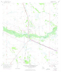
1958 Map of Palmdale
USGS Topo · Published 1973About this map
Palmdale and the surrounding Glades County wetlands are defined by the winding course of Fisheating Creek, a primary hydrological feature that anchors the local landscape. The 1950s topography, updated with 1973 revisions, reveals a pattern of settlement and infrastructure closely tied to water management and transportation. The Seaboard Coast Line railroad bisects the region, passing through the small community of Harrisburg and near local landmarks like Picnic Lake and Rock Lake. Numerous artesian sources, noted as Flowing Wells, suggest the importance of the Floridan aquifer to this area. Towards the southern edge, the platting for Hall City appears alongside drainage features like York Branch and Turkey Branch. These elements, combined with several Levees and a Borrow Pit, illustrate the mid-century efforts to navigate and utilize this seasonally wet interior Florida terrain.
Find a feature on this map
14 named features on this map. Tap any name to fly to it.
Don’t see what you’re looking for? This feature index may not catch every label — zoom into the map to look around manually.
Map Details
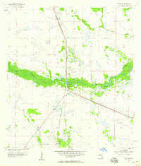
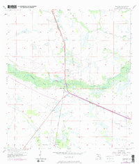
Editions of this 1958 Palmdale Map
Other maps of this area

1953 · Brighton SW
USGS Topo · 1:24,000

1956 · West Palm Beach
USGS Topo · 1:250,000

1956 · Fort Pierce
USGS Topo · 1:250,000

1957 · West Palm Beach
USGS Topo · 1:250,000

1957 · Venus
USGS Topo · 1:24,000

1957 · Venus SW
USGS Topo · 1:24,000

1958 · Fort Pierce
USGS Topo · 1:250,000

1958 · West Palm Beach
USGS Topo · 1:250,000

1958 · La Belle NW
USGS Topo · 1:24,000

1958 · Goodno
USGS Topo · 1:24,000