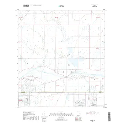
2018 Map of Goodno
USGS Topo · Published 2018About this map
The Caloosahatchee River corridor near the Glades and Hendry county line is defined by a complex network of wetlands and historic hammocks. The settlement of Ortona is situated just north of the river, near the Ortona Cem and the extensive Linden Pens Marsh. To the south, the community of Goodno sits along the southern bank, where residential developments like those on Rolling Cir and Cowboy Way began to expand into the rural landscape.
Find a feature on this map
79 named features on this map. Tap any name to fly to it.
Don’t see what you’re looking for? This feature index may not catch every label — zoom into the map to look around manually.
Map Details
Editions of this 2018 Goodno Map
This is the sole edition of this map. No revisions or reprints were ever made.
Other maps of this area

1956 · West Palm Beach
USGS Topo · 1:250,000

1957 · West Palm Beach
USGS Topo · 1:250,000

1958 · West Palm Beach
USGS Topo · 1:250,000

1958 · La Belle NW
USGS Topo · 1:24,000

1958 · Goodno
USGS Topo · 1:24,000

1958 · Felda NE
USGS Topo · 1:24,000

1958 · Sears
USGS Topo · 1:24,000
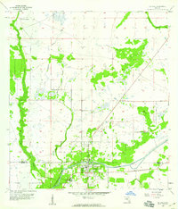
1958 · La Belle
USGS Topo · 1:24,000
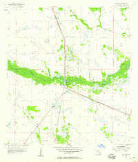
1958 · Palmdale
USGS Topo · 1:24,000
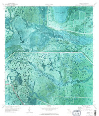
1970 · Lakeport
USGS Topo · 1:24,000